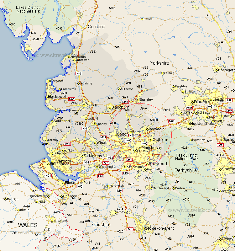
Lancashire Map Showing Location of Heywood
Population: 28555
Area Size (ha): 638
District: Rochdale
Easting: 385657 Northing: 409686
Latitude: 53.58 Longitude: -2.22
 = Heywood
Area Size (ha): 638
District: Rochdale
Easting: 385657 Northing: 409686
Latitude: 53.58 Longitude: -2.22
= Heywood
This Heywood map below is supplied by Google. Use the tools in the top left corner to zoom into street level or zoom out for a road map, you may also need to zoom in to see Heywood on the map. Click and drag the map to move around. If the map fails to load try and refresh your browser or zoom in or out (+ or -).
Update - it seems Google no longer allow people to use their maps for free! This Heywood map sometimes loads and sometimes gives a error. I am working on a solution.
Closest 30 Towns or Cities to Heywood (Population over 500)
Middleton 3.87km Rochdale 5.76km Bury 5.8km Whitefield 6.63km Royton 6.86km Prestwich 7.09km Oldham 7.57km Whitworth 7.73km Tottington 7.92km Milnrow 7.92km Radcliffe 8.55km Ramsbottom 8.63km Shaw 9km Wardle 9.23km Failsworth 9.23km Manchester 9.27km Littleborough 9.49km Little Lever 10.58km Pendlebury 10.69km Edenfield 10.78km Salford 11.6km Droylesden 11.96km Droylsden 11.96km Ashton 12.05km Ashton under Lyne 12.05km Ashton-under-Lyne 12.05km Bromley Cross 12.24km Bradshaw 12.24km Kearsley 12.33km Farnworth 12.66km