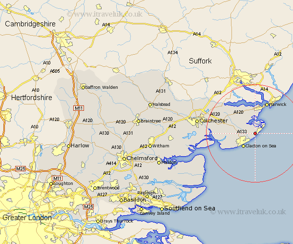
Essex Map Showing Location of Kirby Cross
District: Tendring
Easting: 622744 Northing: 219958
Latitude: 51.83 Longitude: 1.23
 = Kirby Cross
Easting: 622744 Northing: 219958
Latitude: 51.83 Longitude: 1.23
= Kirby Cross
This Kirby Cross map below is supplied by Google. Use the tools in the top left corner to zoom into street level or zoom out for a road map, you may also need to zoom in to see Kirby Cross on the map. Click and drag the map to move around. If the map fails to load try and refresh your browser or zoom in or out (+ or -).
Update - it seems Google no longer allow people to use their maps for free! This Kirby Cross map sometimes loads and sometimes gives a error. I am working on a solution.
Closest 30 Towns or Cities to Kirby Cross (Population over 500)
Frinton-on-Sea 1.15km Frinton 1.15km Frinton on Sea 1.15km Walton on the Naze 3.9km Walton-on-the-Naze 3.9km Thorpe le Soken 4.94km Little Clacton 7.12km Clacton-on-Sea 7.2km Clacton on Sea 7.2km Clacton 7.2km Great Oakley 7.76km Weeley 8.23km Little Oakley 9.27km Wix 9.37km St Osyth 10.96km Saint Osyth 10.96km St. Osyth 10.96km Parkeston 11.18km Great Bentley 11.6km Bradfield 13.7km Harwich 13.76km Harwick 13.76km Thorrington 13.87km Brightlingsea 14.24km Great Bromley 14.82km Mistley 15.15km Alresford 17.28km Lawford 17.67km Winehoe 18.41km Wyvenhoe 18.41km