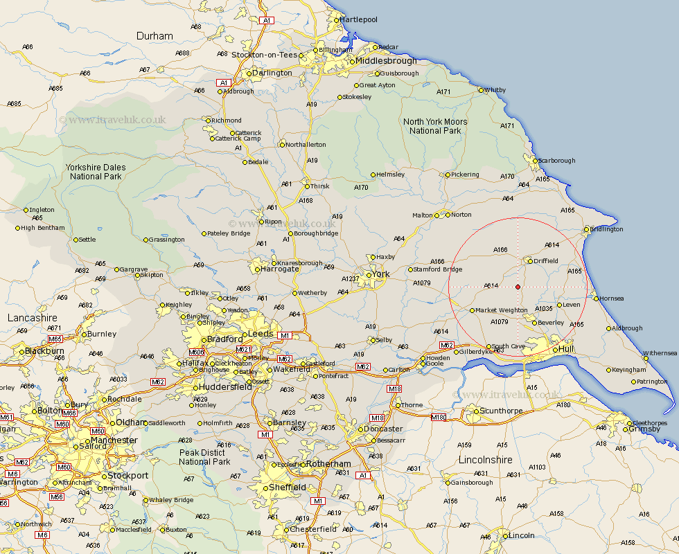
Yorkshire Map Showing Location of Kilnwick
Easting: 499562 Northing: 449662
Latitude: 53.93 Longitude: -0.48
 = Kilnwick
Latitude: 53.93 Longitude: -0.48
= Kilnwick
This Kilnwick map below is supplied by Google. Use the tools in the top left corner to zoom into street level or zoom out for a road map, you may also need to zoom in to see Kilnwick on the map. Click and drag the map to move around. If the map fails to load try and refresh your browser or zoom in or out (+ or -).
Update - it seems Google no longer allow people to use their maps for free! This Kilnwick map sometimes loads and sometimes gives a error. I am working on a solution.
Closest 30 Towns or Cities to Kilnwick (Population over 500)
Lockington 3.7km North Frodingham 3.71km Cranswick 3.76km Cherry Burton 7.49km Leckonfield 7.72km Leconfield 7.72km Driffield 8.79km Wetwang 9.2km Tickton 9.89km Bishop Burton 11.17km Nafferton 11.34km Beverley 11.95km Brandesburton 12.14km Brandsburton 12.14km Leven 12.25km Market Weighton 14.11km Woodmansey 14.53km Beeford 14.66km Kilham 15.05km Dunnington 15.38km Skidby 16.72km Wawne 17.21km Pocklington 17.46km Skipsea 17.84km Cottingham 17.92km Willerby 18.65km Great Driffield 18.82km Sutton on Hull 19.94km Sutton-on-Hull 19.94km Sutton 19.94km