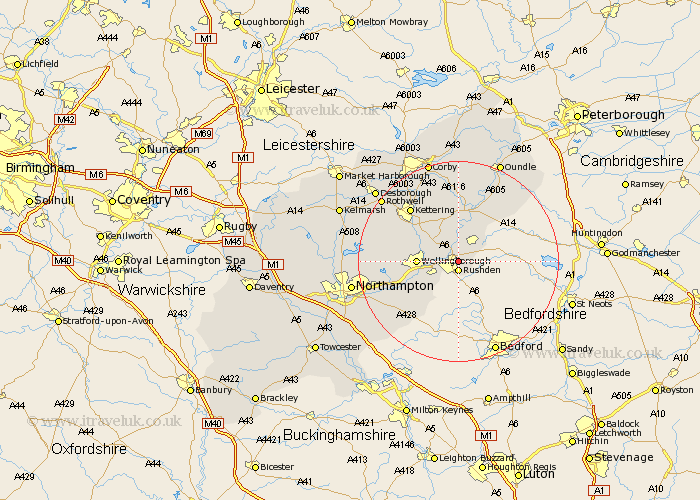
Northamptonshire Map Showing Location of Higham Ferrers
Population: 5259
Area Size (ha): 130
District: East Northamptonshire
Easting: 496591 Northing: 267863
Latitude: 52.3 Longitude: -0.58
 = Higham Ferrers
Area Size (ha): 130
District: East Northamptonshire
Easting: 496591 Northing: 267863
Latitude: 52.3 Longitude: -0.58
= Higham Ferrers
This Higham Ferrers map below is supplied by Google. Use the tools in the top left corner to zoom into street level or zoom out for a road map, you may also need to zoom in to see Higham Ferrers on the map. Click and drag the map to move around. If the map fails to load try and refresh your browser or zoom in or out (+ or -).
Update - it seems Google no longer allow people to use their maps for free! This Higham Ferrers map sometimes loads and sometimes gives a error. I am working on a solution.
Closest 30 Towns or Cities to Higham Ferrers (Population over 500)
Rushden 1.86km Irthlingborough 2.18km Stanwick 2.93km Raunds 5.03km Finedon 5.03km Irchester 5.03km Ringstead 6km Woodford 7.5km Wellingborough 7.93km Burton Latimer 7.94km Wollaston 7.94km Doddington 8.76km Great Doddington 8.76km Isham 9.68km Wilby 9.8km Islip 9.87km Bozeat 10.86km Thrapston 11.63km Earls Barton 12.63km Titchmarsh 13.03km Whiston 13.55km Sywell 13.73km Kettering 14.34km Broughton 14.5km Yardley Hastings 15.1km Overstone 15.98km Walgrave 16.29km Geddington 16.3km Denton 16.72km Brigstock 16.72km