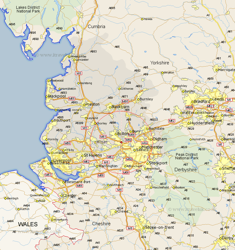
Lancashire Map Showing Location of Kearsley
Population: 9150
Area Size (ha): 184
District: Bolton
Easting: 374595 Northing: 404167
Latitude: 53.53 Longitude: -2.38
 = Kearsley
Area Size (ha): 184
District: Bolton
Easting: 374595 Northing: 404167
Latitude: 53.53 Longitude: -2.38
= Kearsley
This Kearsley map below is supplied by Google. Use the tools in the top left corner to zoom into street level or zoom out for a road map, you may also need to zoom in to see Kearsley on the map. Click and drag the map to move around. If the map fails to load try and refresh your browser or zoom in or out (+ or -).
Update - it seems Google no longer allow people to use their maps for free! This Kearsley map sometimes loads and sometimes gives a error. I am working on a solution.
Closest 30 Towns or Cities to Kearsley (Population over 500)
Walkden 2.15km Little Lever 2.16km Farnworth 2.16km Pendlebury 3.79km Radcliffe 3.79km Swinton 4.31km Whitefield 5.81km Tyldesley 5.81km Bolton 6.47km Eccles 6.47km Prestwich 6.61km Bradshaw 7.5km Bromley Cross 7.5km Atherton 7.93km Tottington 8.12km Westhoughton 9km Bury 9.23km Salford 9.51km Urmston 9.52km Stretford 10.26km Leigh 10.42km Turton 11.17km Irlam 11.34km Manchester 11.62km Ramsbottom 11.96km Middleton 12.26km Heywood 12.33km Hindley 13.22km Horwich 13.27km Abram 13.35km