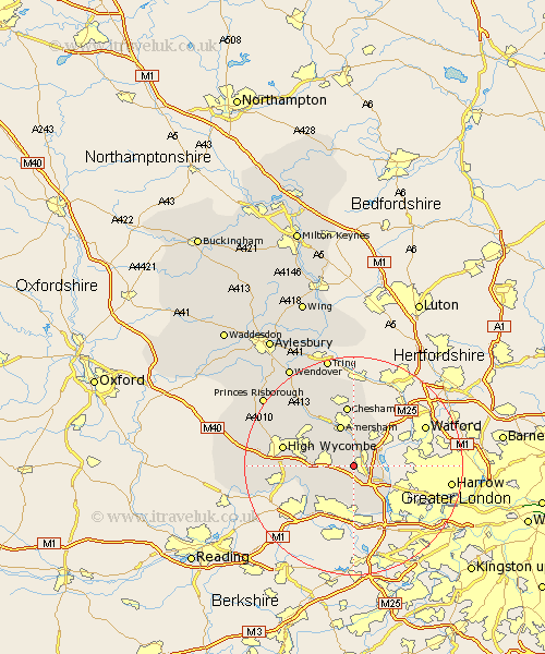
Buckinghamshire Map Showing Location of Jordans
District: Chiltern
Easting: 498107 Northing: 190020
Latitude: 51.6 Longitude: -0.58
 = Jordans
Easting: 498107 Northing: 190020
Latitude: 51.6 Longitude: -0.58
= Jordans
This Jordans map below is supplied by Google. Use the tools in the top left corner to zoom into street level or zoom out for a road map, you may also need to zoom in to see Jordans on the map. Click and drag the map to move around. If the map fails to load try and refresh your browser or zoom in or out (+ or -).
Update - it seems Google no longer allow people to use their maps for free! This Jordans map sometimes loads and sometimes gives a error. I am working on a solution.
Closest 30 Towns or Cities to Jordans (Population over 500)
Gerrards Cross 1.89km Chalfont St Giles 2.19km Chalfont Saint Giles 2.19km Chalfont St. Giles 2.19km Chalfont St. Peter 2.3km Chalfont Saint Peter 2.3km Chalfont St Peter 2.3km Beaconsfield 3.45km Hedgerley 3.88km Fulmer 6.02km Denham 6.85km Penn 7.15km Amersham 7.77km Farnham Royal 7.77km Wooburn 7.84km Flackwell Heath 8.06km Bourne End 8.87km Little Missenden 9.39km Latimer 9.54km Hazlemere 9.79km Burnham 10.35km Little Marlow 10.53km Chesham 11.18km Taplow 11.56km Hughenden 11.75km Dorney 12.04km Iver Heath 12.49km Iver 12.52km High Wycombe 13.19km Chepping 13.19km