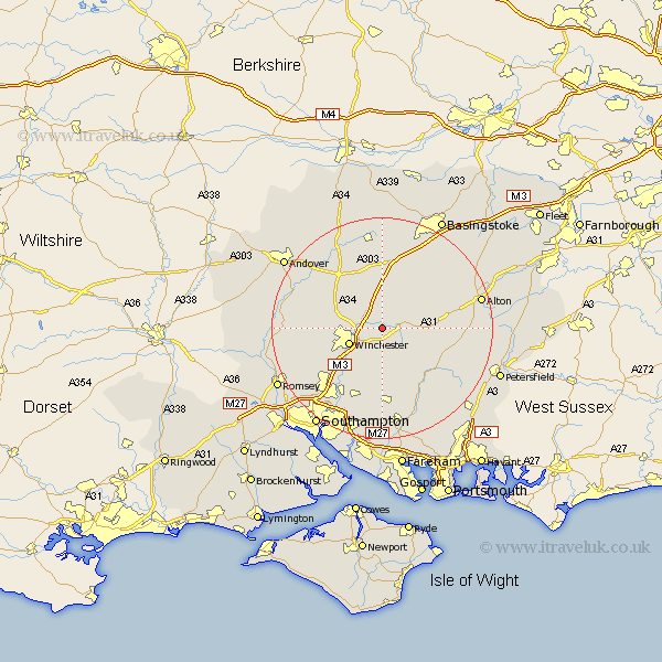
Hampshire Map Showing Location of Itchen Abbas
District: Winchester
Easting: 453695 Northing: 131892
Latitude: 51.08 Longitude: -1.23
 = Itchen Abbas
Easting: 453695 Northing: 131892
Latitude: 51.08 Longitude: -1.23
= Itchen Abbas
This Itchen Abbas map below is supplied by Google. Use the tools in the top left corner to zoom into street level or zoom out for a road map, you may also need to zoom in to see Itchen Abbas on the map. Click and drag the map to move around. If the map fails to load try and refresh your browser or zoom in or out (+ or -).
Update - it seems Google no longer allow people to use their maps for free! This Itchen Abbas map sometimes loads and sometimes gives a error. I am working on a solution.
Closest 30 Towns or Cities to Itchen Abbas (Population over 500)
New Alresford 4.66km Kings Worthy 4.66km Cheriton 5.95km Micheldever 6.03km Winchester 6.53km Twyford 9.42km Wonston 9.43km Owslebury 9.55km Bramdean 9.87km Compton 10.18km Ropley 10.64km Sparsholt 10.64km Medstead 12.22km Otterbourne 12.34km West Meon 12.84km Upham 12.97km Barton Stacey 13.14km Four Marks 13.33km North Waltham 13.44km Hursley 13.81km Dummer 14.22km Corhampton 14.73km Bishopstoke 14.73km Durley 14.87km Bishops Waltham 14.87km Bishop's Waltham 14.87km Eastleigh 15.32km Chilbolton 15.81km Longparish 16.09km Droxford 16.39km