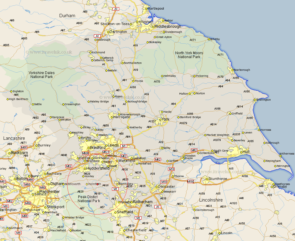
Yorkshire Map Showing Location of Ingbirchworth
Population: 400
District: Barnsley
Easting: 422082 Northing: 406008
Latitude: 53.55 Longitude: -1.67
 = Ingbirchworth
District: Barnsley
Easting: 422082 Northing: 406008
Latitude: 53.55 Longitude: -1.67
= Ingbirchworth
This Ingbirchworth map below is supplied by Google. Use the tools in the top left corner to zoom into street level or zoom out for a road map, you may also need to zoom in to see Ingbirchworth on the map. Click and drag the map to move around. If the map fails to load try and refresh your browser or zoom in or out (+ or -).
Update - it seems Google no longer allow people to use their maps for free! This Ingbirchworth map sometimes loads and sometimes gives a error. I am working on a solution.
Closest 30 Towns or Cities to Ingbirchworth (Population over 500)
Denby Dale 1.86km Shepley 4.96km Penistone 4.96km Shelley 5.67km Cawthorne 5.81km Kirkburton 5.98km Holmfirth 6.61km Dunford Bridge 6.64km Silkstone 6.86km Emley 7.74km Stocksbridge 8.63km Dodworth 9km Darton 9.55km Bretton 9.93km West Bretton 9.93km Honley 10.41km Holme 11.01km Woolley 11.36km Wortley 11.52km Middlestown 11.96km Middletown 11.96km Barnsley 12.11km Meltham 12.66km Worsbrough 12.67km Worsborough 12.67km Crigglestone 12.78km Mirfield 13.02km Notton 13.32km Birdwell 13.33km Huddersfield 13.52km