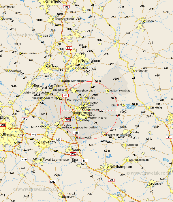
Leicestershire Map Showing Location of Humberstone
Easting: 463158 Northing: 304397
Latitude: 52.63 Longitude: -1.07
 = Humberstone
Latitude: 52.63 Longitude: -1.07
= Humberstone
This Humberstone map below is supplied by Google. Use the tools in the top left corner to zoom into street level or zoom out for a road map, you may also need to zoom in to see Humberstone on the map. Click and drag the map to move around. If the map fails to load try and refresh your browser or zoom in or out (+ or -).
Update - it seems Google no longer allow people to use their maps for free! This Humberstone map sometimes loads and sometimes gives a error. I am working on a solution.
Closest 30 Towns or Cities to Humberstone (Population over 500)
Leiscester 4.5km Leicester 4.5km Birstall 5.01km Syston 5.56km Oadby 5.67km Houghton 5.92km Houghton-on-the-Hill 5.92km Houghton on the Hill 5.92km Queniborough 6km Queniboro 6km Wigston Magna 6km Wigston 6km Braunstone 7.7km Great Glen 7.74km Ansty 8.09km Anstey 8.09km Glen Parva 8.14km Glen Parka 8.14km Rothley 8.67km Blaby 9.3km Sileby 9.54km Rearsby 9.54km Billesdon 9.73km Gaddesby 10.02km Kirby Muxloe 10.29km Countesthorpe 10.3km Enderby 10.58km Twyford 10.78km Whetstone 10.81km Mountsorrel 10.84km