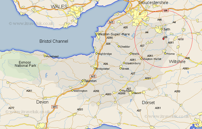
Somerset Map Showing Location of Hinton Charterhouse
Population: 477
Easting: 376772 Northing: 157618
Latitude: 51.32 Longitude: -2.33
 = Hinton Charterhouse
Easting: 376772 Northing: 157618
Latitude: 51.32 Longitude: -2.33
= Hinton Charterhouse
This Hinton Charterhouse map below is supplied by Google. Use the tools in the top left corner to zoom into street level or zoom out for a road map, you may also need to zoom in to see Hinton Charterhouse on the map. Click and drag the map to move around. If the map fails to load try and refresh your browser or zoom in or out (+ or -).
Update - it seems Google no longer allow people to use their maps for free! This Hinton Charterhouse map sometimes loads and sometimes gives a error. I am working on a solution.
Closest 30 Towns or Cities to Hinton Charterhouse (Population over 500)
Norton St Philip 1.86km Norton St. Philip 1.86km Norton Saint Philip 1.86km Freshford 2.96km Wellow 3.47km Road 5.09km Rode 5.09km Beckington 6.56km Bathampton 7.5km Bath 7.5km Camerton 8.11km Kilmersdon 8.9km Kilmersden 8.9km Batheaston 9.33km Bathford 9.55km Mells 10.37km Timsbury 10.43km Frome 11.18km Farmborough 11.73km Farmboro 11.73km Paulton 11.73km Saltford 12.31km Stratton-on-the-Fosse 12.85km Stratton 12.85km Chilcompton 12.85km Stratton on the Fosse 12.85km Coleford 13km Nunney 13.43km Leigh on Mendip 13.77km Leigh 13.77km