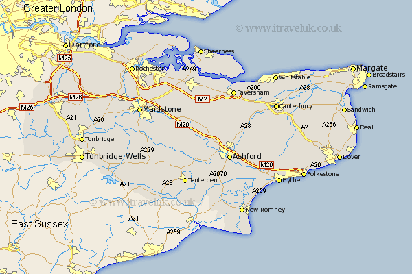
Kent Map Showing Location of Lynton
Population: 89458
Area Size (ha): 2281
Easting: 529227 Northing: 405867
Latitude: 53.53 Longitude: -0.05
 = Lynton
Area Size (ha): 2281
Easting: 529227 Northing: 405867
Latitude: 53.53 Longitude: -0.05
= Lynton
This Lynton map below is supplied by Google. Use the tools in the top left corner to zoom into street level or zoom out for a road map, you may also need to zoom in to see Lynton on the map. Click and drag the map to move around. If the map fails to load try and refresh your browser or zoom in or out (+ or -).
Update - it seems Google no longer allow people to use their maps for free! This Lynton map sometimes loads and sometimes gives a error. I am working on a solution.
Closest 30 Towns or Cities to Lynton (Population over 500)
Dartford 232.35km Stonewood 234.6km Allhallows 234.63km Swanscombe 234.82km Northfleet 234.95km Gravesend 235.21km Wilmington 235.96km Higham 236.11km Darenth 236.14km High Halstow 237.02km Grain 237.39km Stoke 237.83km Southfleet 238.51km Shorne 239.46km Swanley 239.52km Hextable 239.74km Sheerness 239.96km Longfield 240.36km Hoo 240.86km Cobham 241km Farningham 241.59km Queenborough 241.76km Rochester 241.82km Strood 241.95km Chatham 242.13km Hartley 242.19km Minster 242.56km Meopham 242.56km Gillingham 242.77km Eynsford 243.44km