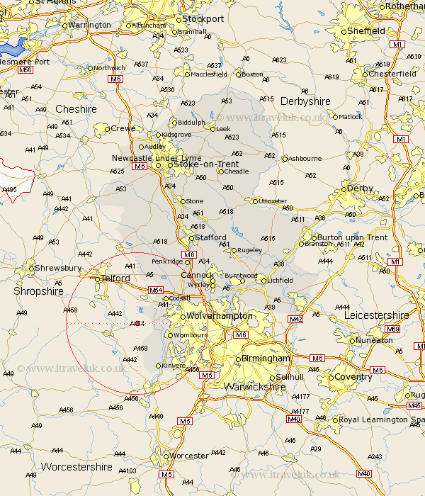
Staffordshire Map Showing Location of Hilton
Population: 240
District: South Staffordshire
Easting: 378538 Northing: 296628
Latitude: 52.57 Longitude: -2.32
 = Hilton
District: South Staffordshire
Easting: 378538 Northing: 296628
Latitude: 52.57 Longitude: -2.32
= Hilton
This Hilton map below is supplied by Google. Use the tools in the top left corner to zoom into street level or zoom out for a road map, you may also need to zoom in to see Hilton on the map. Click and drag the map to move around. If the map fails to load try and refresh your browser or zoom in or out (+ or -).
Update - it seems Google no longer allow people to use their maps for free! This Hilton map sometimes loads and sometimes gives a error. I am working on a solution.
Closest 30 Towns or Cities to Hilton (Population over 500)
Pattingham 3.85km Seisdon 4.51km Scisdon 4.51km Bobbington 6km Lower Penn 7.89km Wombourne 9.75km Wombourn 9.75km Codsall 10.81km Wolverhampton 12.53km Himley 12.57km Kinvere 14.15km Weston 14.99km Weston under Lizard 14.99km Weston-under-Lizard 14.99km Brewood 16.45km Blymhill 16.83km Bilston 16.9km Dudley 17.44km Wheaton Aston 17.99km Shareshill 19.28km Church Eaton 21.14km Walsall 21.71km Wallsall 21.71km West Bromwich 22.13km Smethwick 22.67km Penkridge 22.92km Wyrley 23.25km Great Wyrley 23.25km Cannock 24.04km Huntington 24.19km