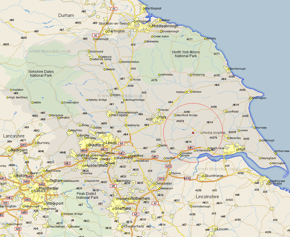
Yorkshire Map Showing Location of Harswell
Easting: 482188 Northing: 441912
Latitude: 53.87 Longitude: -0.75
 = Harswell
Latitude: 53.87 Longitude: -0.75
= Harswell
This Harswell map below is supplied by Google. Use the tools in the top left corner to zoom into street level or zoom out for a road map, you may also need to zoom in to see Harswell on the map. Click and drag the map to move around. If the map fails to load try and refresh your browser or zoom in or out (+ or -).
Update - it seems Google no longer allow people to use their maps for free! This Harswell map sometimes loads and sometimes gives a error. I am working on a solution.
Closest 30 Towns or Cities to Harswell (Population over 500)
Holme 3.87km Holme upon Spalding Moor 3.87km Seaton Ross 4.75km Market Weighton 5.46km Melbourne 6.81km Pocklington 7.4km Barmby on the Moor 8.6km Barmby 8.6km Barmby-on-the-Moor 8.6km Sutton 12.26km Sutton upon Derwent 12.26km Bubwith 12.27km Fangfoss 12.39km Wilberfoss 12.73km North Cave 12.91km Eastrington 13.16km Wheldrake 14.32km South Cave 14.85km Newport 15.07km Cherry Burton 16.39km Howden 16.7km Bishop Burton 16.81km Stamford Bridge 16.95km Lockington 17.87km Hook 17.93km Goole 18.36km Hemingbrough 18.93km Cliff Common Station 18.93km Cliffe Common 18.93km Wetwang 19.07km