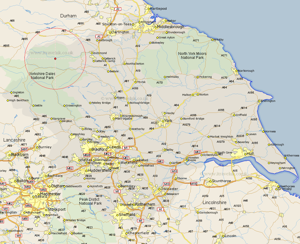
Yorkshire Map Showing Location of Gunnerside
District: Richmondshire
Easting: 395668 Northing: 496816
Latitude: 54.37 Longitude: -2.07
 = Gunnerside
Easting: 395668 Northing: 496816
Latitude: 54.37 Longitude: -2.07
= Gunnerside
This Gunnerside map below is supplied by Google. Use the tools in the top left corner to zoom into street level or zoom out for a road map, you may also need to zoom in to see Gunnerside on the map. Click and drag the map to move around. If the map fails to load try and refresh your browser or zoom in or out (+ or -).
Update - it seems Google no longer allow people to use their maps for free! This Gunnerside map sometimes loads and sometimes gives a error. I am working on a solution.
Closest 30 Towns or Cities to Gunnerside (Population over 500)
Hawes 11.39km Leyburn 17.82km Bradley 17.9km Middleham 18.68km Richmond 21.9km Gilling 23.83km Melsonby 27.98km Catterick 28.07km Middleton Tyas 28.51km Barton 29.16km Crakehall 30.1km Scorton 30.28km Masham 31.77km Bedale 32.69km North Cowton 33.66km Grassington 33.8km Grewelthorpe 33.88km East Cowton 34.97km Cowton 34.97km Kirkby Malzeard 35.02km Threshfield 35.37km Ingleton 35.43km Settle 35.8km Clapham 36.1km Bewerley 37.06km Tanfield 37.38km West Tanfield 37.38km Giggleswick 37.54km Burton in Lonsdale 39.91km Bentham 40.9km