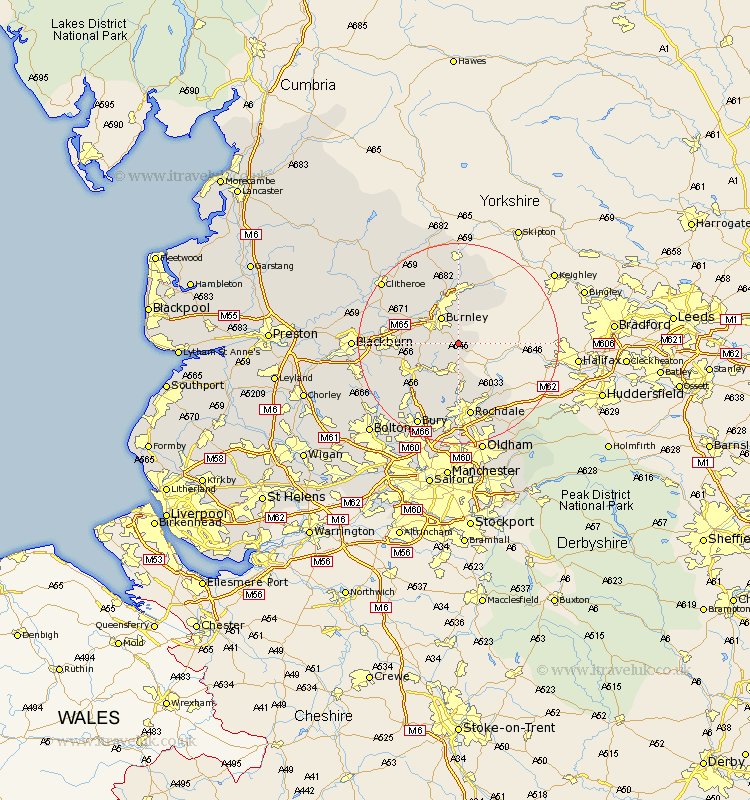
Lancashire Map Showing Location of Holme
District: Burnley
Easting: 387912 Northing: 428221
Latitude: 53.75 Longitude: -2.18
 = Holme
Easting: 387912 Northing: 428221
Latitude: 53.75 Longitude: -2.18
= Holme
This Holme map below is supplied by Google. Use the tools in the top left corner to zoom into street level or zoom out for a road map, you may also need to zoom in to see Holme on the map. Click and drag the map to move around. If the map fails to load try and refresh your browser or zoom in or out (+ or -).
Update - it seems Google no longer allow people to use their maps for free! This Holme map sometimes loads and sometimes gives a error. I am working on a solution.
Closest 30 Towns or Cities to Holme (Population over 500)
Bacup 5.56km Burnley 6.46km Brierfield 8.11km Rawtenstall 8.61km Nelson 9.33km Hapton 9.51km Padiham 9.51km Altham 10.53km Accrington 11.11km Whitworth 11.12km Colne 11.17km Haslingden 11.33km Barrowford 11.33km Simonstone 11.56km Wardle 11.6km Laneshaw Bridge 11.95km Edenfield 12.03km Sabden 12.33km Foulridge 13.02km Church 13.15km Clayton le Moors 13.28km Clayton-le-Moors 13.28km Clayton le Moor 13.28km Littleborough 14.09km Oswaldtwistle 14.37km Kelbrook 14.98km Rochdale 14.98km Rishton 15.34km Ramsbottom 15.67km Great Harwood 15.78km