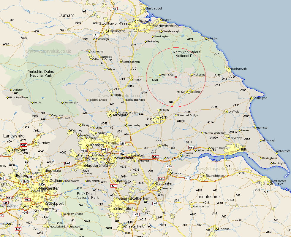
Yorkshire Map Showing Location of Great Edston
District: Ryedale
Easting: 470606 Northing: 482514
Latitude: 54.23 Longitude: -0.92
 = Great Edston
Easting: 470606 Northing: 482514
Latitude: 54.23 Longitude: -0.92
= Great Edston
This Great Edston map below is supplied by Google. Use the tools in the top left corner to zoom into street level or zoom out for a road map, you may also need to zoom in to see Great Edston on the map. Click and drag the map to move around. If the map fails to load try and refresh your browser or zoom in or out (+ or -).
Update - it seems Google no longer allow people to use their maps for free! This Great Edston map sometimes loads and sometimes gives a error. I am working on a solution.
Closest 30 Towns or Cities to Great Edston (Population over 500)
Kirby Moorside 3.87km Kirkby Moorside 3.87km Nawton 4.33km Slingsby 9.26km Pickering 9.92km Helmsley 9.92km Thornton Dale 13km Thornton-le-Dale 13km Malton 13.11km Terrington 13.37km Ampleforth 13.52km Norton 14.51km Rillington 16.87km Sheriff Hutton 17.54km Stillington 19.73km Yedingham 19.85km Snainton 21.75km Strensall 21.75km Huby 21.84km Easingwold 22.54km Brompton 23.91km Raskelf 24.37km Ingleby 25.22km Haxby 25.99km Wigginton 25.99km Alne 26.52km Tollerton 26.92km Shipton 26.94km Sherburn 27.05km Thirsk 27.15km