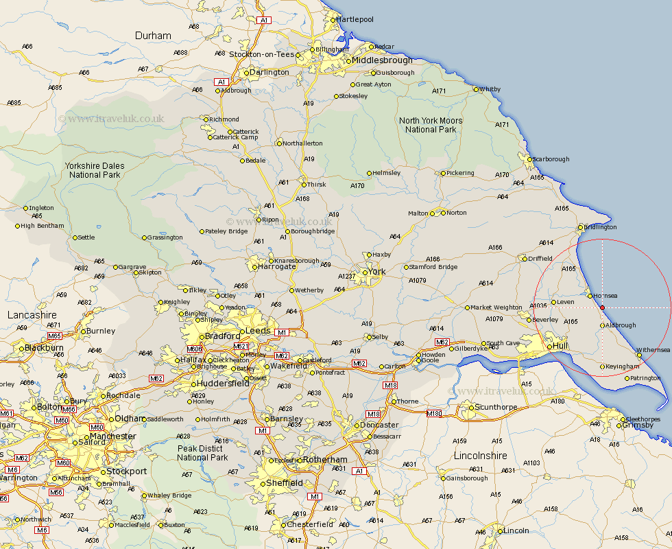
Yorkshire Map Showing Location of Great Cowden
Easting: 523826 Northing: 442832
Latitude: 53.87 Longitude: -0.12
 = Great Cowden
Latitude: 53.87 Longitude: -0.12
= Great Cowden
This Great Cowden map below is supplied by Google. Use the tools in the top left corner to zoom into street level or zoom out for a road map, you may also need to zoom in to see Great Cowden on the map. Click and drag the map to move around. If the map fails to load try and refresh your browser or zoom in or out (+ or -).
Update - it seems Google no longer allow people to use their maps for free! This Great Cowden map sometimes loads and sometimes gives a error. I am working on a solution.
Closest 30 Towns or Cities to Great Cowden (Population over 500)
Hornsea 4.94km Aldbrough 5.56km Walkington 7.07km Sproatley 10.25km Skirlaugh Station 10.36km Burton Pidsea 11.17km Preston 12.39km Dunnington 12.73km Skipsea 12.9km Brandesburton 13.24km Brandsburton 13.24km Leven 13.24km Roos 13.7km Beeford 14.84km Burstwick 14.87km Hedon 15.47km Sutton 16.07km Sutton on Hull 16.07km Sutton-on-Hull 16.07km Thorngumbold 17km Thorngumbald 17km Wawne 17.01km Tickton 17.48km Withernsea 17.81km Paull 18.36km Woodmansey 18.36km Keyingham 18.54km Ottringham 18.66km Hull 18.76km Cottingham 19.81km