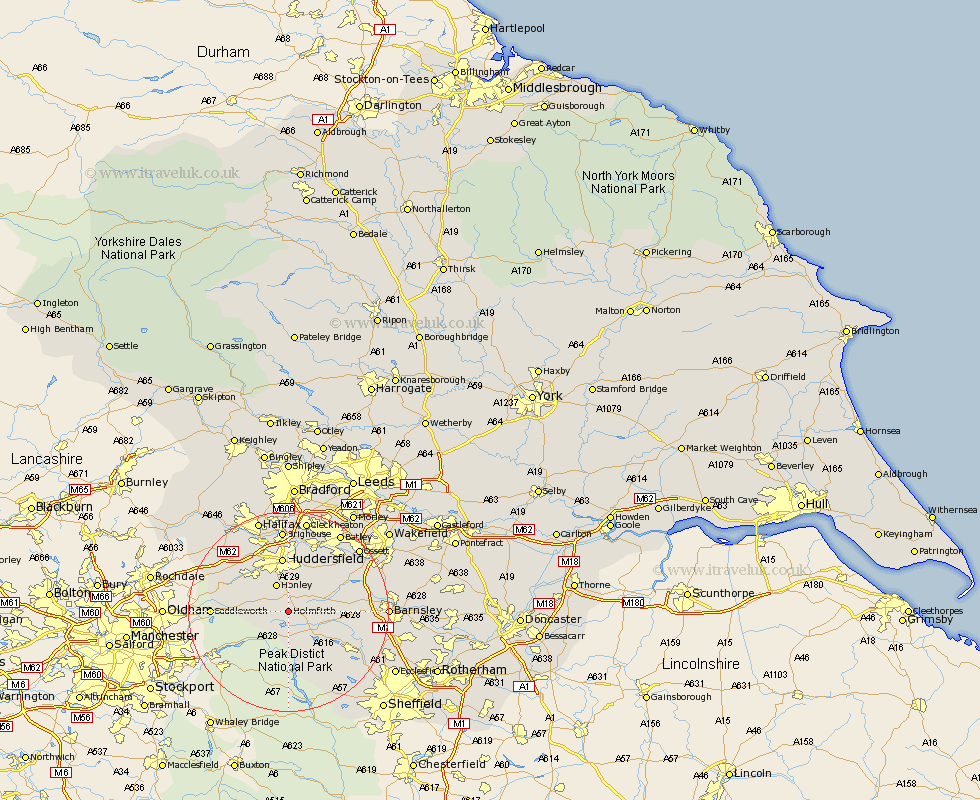
Yorkshire Map Showing Location of Holmfirth
Population: 21461
Area Size (ha): 677
District: Kirklees
Easting: 415457 Northing: 405982
Latitude: 53.55 Longitude: -1.77
 = Holmfirth
Area Size (ha): 677
District: Kirklees
Easting: 415457 Northing: 405982
Latitude: 53.55 Longitude: -1.77
= Holmfirth
This Holmfirth map below is supplied by Google. Use the tools in the top left corner to zoom into street level or zoom out for a road map, you may also need to zoom in to see Holmfirth on the map. Click and drag the map to move around. If the map fails to load try and refresh your browser or zoom in or out (+ or -).
Update - it seems Google no longer allow people to use their maps for free! This Holmfirth map sometimes loads and sometimes gives a error. I am working on a solution.
Closest 30 Towns or Cities to Holmfirth (Population over 500)
Dunford Bridge 3.86km Holme 4.4km Shepley 4.96km Honley 5.98km Meltham 6.63km Denby Dale 6.86km Kirkburton 7.09km Shelley 7.82km Penistone 10.58km Huddersfield 11.17km Emley 11.51km Cawthorne 12.25km Stocksbridge 13.28km Silkstone 13.35km Mirfield 14.09km Saddleworth 14.31km Bretton 15.14km West Bretton 15.14km Elland 15.46km Dodworth 15.53km Middlestown 15.64km Middletown 15.64km Darton 15.85km Brighouse 16.72km Wortley 17.12km Liversedge 17.25km Woolley 17.42km Ripponden 17.74km Heckmondwike 17.94km Crigglestone 17.97km