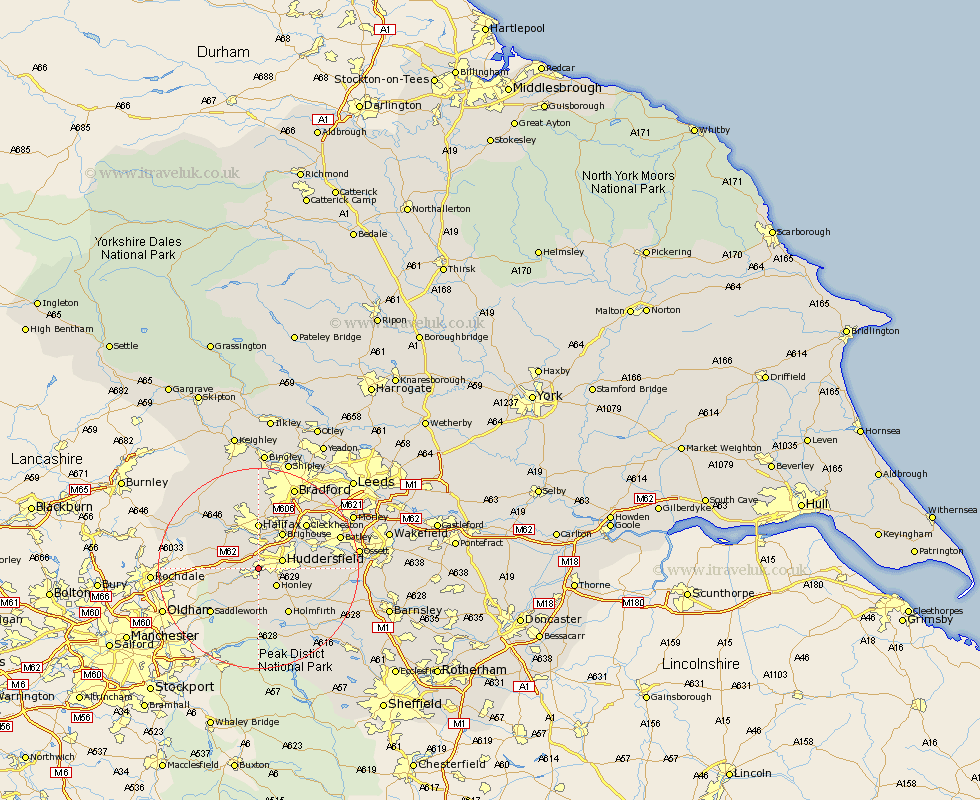
Yorkshire Map Showing Location of Golcar
District: Kirklees
Easting: 409917 Northing: 415233
Latitude: 53.63 Longitude: -1.85
 = Golcar
Easting: 409917 Northing: 415233
Latitude: 53.63 Longitude: -1.85
= Golcar
This Golcar map below is supplied by Google. Use the tools in the top left corner to zoom into street level or zoom out for a road map, you may also need to zoom in to see Golcar on the map. Click and drag the map to move around. If the map fails to load try and refresh your browser or zoom in or out (+ or -).
Update - it seems Google no longer allow people to use their maps for free! This Golcar map sometimes loads and sometimes gives a error. I am working on a solution.
Closest 30 Towns or Cities to Golcar (Population over 500)
Huddersfield 4.77km Honley 4.96km Meltham 5.56km Elland 5.67km Ripponden 7.57km Brighouse 8.62km Halifax 9.27km Holme 9.33km Shepley 10.41km Kirkburton 10.56km Holmfirth 10.77km Luddenden Foot 10.78km Mirfield 11.6km Shelley 11.6km Liversedge 12.36km Mytholmroyd 12.77km Cleckheaton 12.77km Saddleworth 12.78km Heckmondwike 14.17km Denby Dale 14.18km Emley 14.41km Dunford Bridge 14.55km Queensbury 15.47km Batley 16.49km Middletown 16.58km Middlestown 16.58km Hebden Bridge 16.99km Heptonstall 16.99km Denholme 17km Drewsbury 17.07km