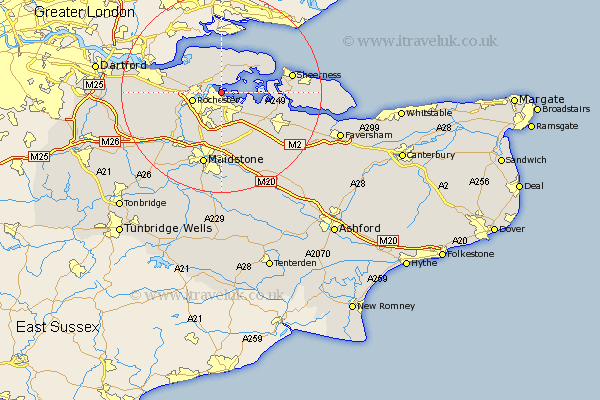
Kent Map Showing Location of Hoo
Population: 5173
Area Size (ha): 98
Easting: 578518 Northing: 169955
Latitude: 51.4 Longitude: 0.57
 = Hoo
= Hoo
Area Size (ha): 98
Easting: 578518 Northing: 169955
Latitude: 51.4 Longitude: 0.57
= Hoo
This Hoo map below is supplied by Google. Use the tools in the top left corner to zoom into street level or zoom out for a road map, you may also need to zoom in to see Hoo on the map. Click and drag the map to move around. If the map fails to load try and refresh your browser or zoom in or out (+ or -).
Update - it seems Google no longer allow people to use their maps for free! This Hoo map sometimes loads and sometimes gives a error. I am working on a solution.
Closest 30 Towns or Cities to Hoo (Population over 500)
Gillingham 1.95km High Halstow 3.88km Chatham 3.93km Strood 4.98km Stoke 5.07km Rochester 5.85km Upchurch 6.87km Higham 7.86km Lower Halstow 7.87km Newington 8.89km Shorne 9.25km Allhallows 9.4km Cuxton 9.82km Wouldham 10.16km Bobbing 10.8km Burham 10.92km Stockbury 10.92km Cobham 11.71km Grain 11.79km Iwade 12.14km Boxley 13.03km Detling 13.03km Borden 13.1km Snodland 13.1km Tunstall 13.94km Queenborough 14km Aylesford 14.21km Gravesend 14.35km Sheerness 14.36km Meopham 14.36km