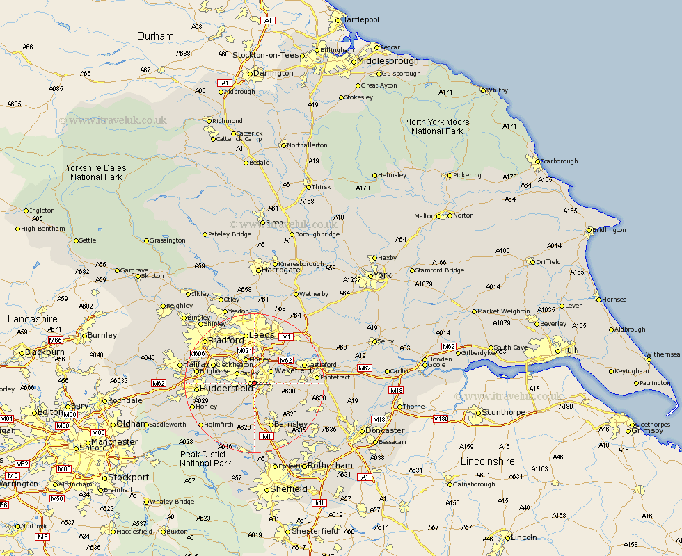
Yorkshire Map Showing Location of Horbury
Population: 8990
Area Size (ha): 324
District: Wakefield
Easting: 429729 Northing: 419032
Latitude: 53.67 Longitude: -1.55
 = Horbury
Area Size (ha): 324
District: Wakefield
Easting: 429729 Northing: 419032
Latitude: 53.67 Longitude: -1.55
= Horbury
This Horbury map below is supplied by Google. Use the tools in the top left corner to zoom into street level or zoom out for a road map, you may also need to zoom in to see Horbury on the map. Click and drag the map to move around. If the map fails to load try and refresh your browser or zoom in or out (+ or -).
Update - it seems Google no longer allow people to use their maps for free! This Horbury map sometimes loads and sometimes gives a error. I am working on a solution.
Closest 30 Towns or Cities to Horbury (Population over 500)
Ossett 1.1km Middletown 3.78km Middlestown 3.78km Crigglestone 3.87km Batley 5.57km West Bretton 5.67km Bretton 5.67km Wakefield 5.74km Stanley 5.74km Drewsbury 5.74km Dewsbury 5.74km Morley 7.72km Woolley 7.73km Emley 7.82km Lofthouse 8.1km Heckmondwike 8.53km Notton 8.62km Mirfield 8.78km Crofton 8.98km Darton 9.33km Ryhill 9.49km Normanton 9.53km Royston 9.92km Rothwell 10.25km Liversedge 10.55km Cawthorne 11.33km Shelley 11.5km Fitzwilliam 11.6km Cleckheaton 12.3km Kirkburton 12.36km