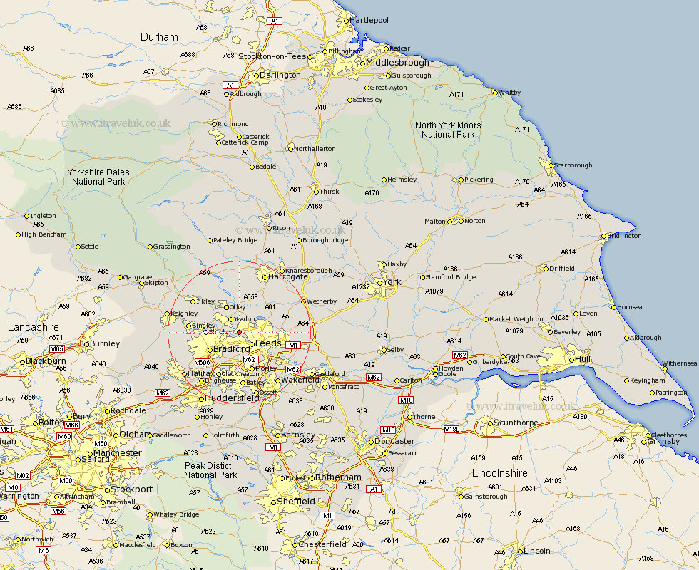
Yorkshire Map Showing Location of Horsforth
Population: 18442
Area Size (ha): 453
District: Leeds
Easting: 424128 Northing: 437534
Latitude: 53.83 Longitude: -1.63
 = Horsforth
Area Size (ha): 453
District: Leeds
Easting: 424128 Northing: 437534
Latitude: 53.83 Longitude: -1.63
= Horsforth
This Horsforth map below is supplied by Google. Use the tools in the top left corner to zoom into street level or zoom out for a road map, you may also need to zoom in to see Horsforth on the map. Click and drag the map to move around. If the map fails to load try and refresh your browser or zoom in or out (+ or -).
Update - it seems Google no longer allow people to use their maps for free! This Horsforth map sometimes loads and sometimes gives a error. I am working on a solution.
Closest 30 Towns or Cities to Horsforth (Population over 500)
Yeadon 4.31km Leeds 4.95km Bramhope 5.67km Pudsey 5.98km Guiseley 6.61km Pool-in-Wharfedale 7.5km Pool 7.5km Poole 7.5km Arthington 7.73km Arthington Junction Station 7.73km Otley 8.11km Menston 8.6km Shipley 8.75km Baildon 8.94km Bradford 9.47km Weeton 10.25km Harewood 11.46km Morley 11.59km Burley 12.02km Burley in Wharfedale 12.02km Scarcroft 12.59km Bingley 13.25km Rothwell 13.52km East Keswick 13.95km Cleckheaton 14.07km Lofthouse 14.16km Bardsey 14.25km Thorner 14.34km Scholes 14.34km Pannal 14.54km