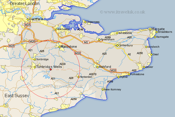
Kent Map Showing Location of Horsmonden
Population: 2169
District: Tunbridge Wells
Easting: 570290 Northing: 138142
Latitude: 51.12 Longitude: 0.43
 = Horsmonden
District: Tunbridge Wells
Easting: 570290 Northing: 138142
Latitude: 51.12 Longitude: 0.43
= Horsmonden
This Horsmonden map below is supplied by Google. Use the tools in the top left corner to zoom into street level or zoom out for a road map, you may also need to zoom in to see Horsmonden on the map. Click and drag the map to move around. If the map fails to load try and refresh your browser or zoom in or out (+ or -).
Update - it seems Google no longer allow people to use their maps for free! This Horsmonden map sometimes loads and sometimes gives a error. I am working on a solution.
Closest 30 Towns or Cities to Horsmonden (Population over 500)
Goudhurst 2.19km Brenchley 2.97km Lamberhurst 5.1km Paddock Wood 6.56km Marden 7.25km Staplehurst 7.9km Cranbrook 7.91km Pembury 8.35km Hunton 9.9km East Peckham 9.9km Hawkhurst 10.38km Frittenden 10.63km Tunbridge Wells 10.63km Turnbridge Wells 10.63km Royal Tunbridge Wells 10.63km Yalding 11.12km Linton 12.55km Tonbridge 12.82km Benenden 12.84km Beneden 12.84km Boughton Monchelsea 13.12km Hadlow 13.13km Headcorn 13.32km Sutton Valence 13.97km Biddenden 14.09km Loose 14.21km Southborough 14.44km Bidborough 14.44km Sandhurst 14.51km Wateringbury 14.87km