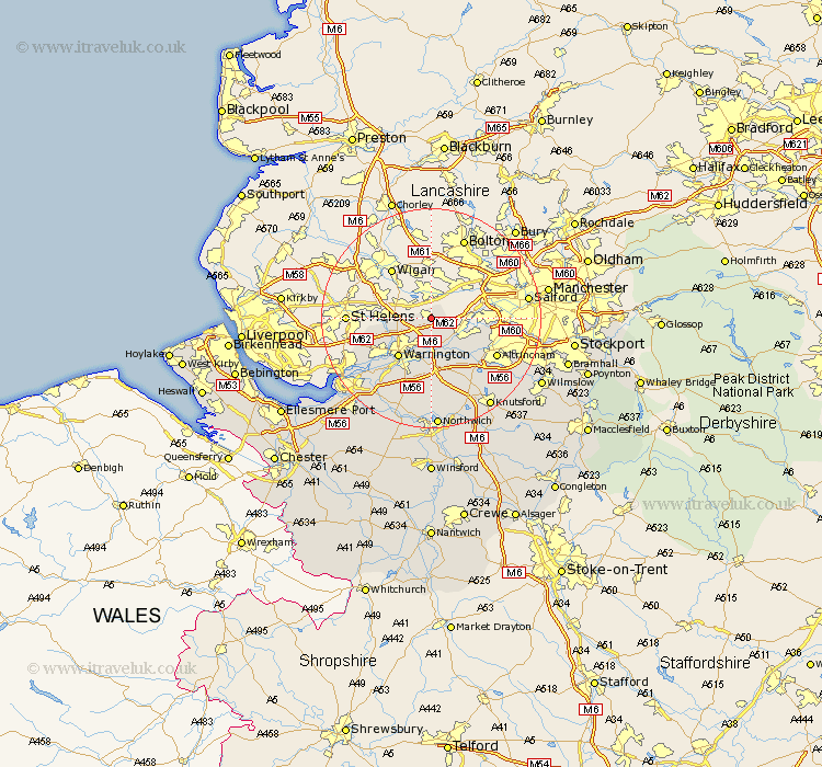
Cheshire Map Showing Location of Culcheth
Population: 5664
Area Size (ha): 176
Easting: 365691 Northing: 394956
Latitude: 53.45 Longitude: -2.52
 = Culcheth
Area Size (ha): 176
Easting: 365691 Northing: 394956
Latitude: 53.45 Longitude: -2.52
= Culcheth
This Culcheth map below is supplied by Google. Use the tools in the top left corner to zoom into street level or zoom out for a road map, you may also need to zoom in to see Culcheth on the map. Click and drag the map to move around. If the map fails to load try and refresh your browser or zoom in or out (+ or -).
Update - it seems Google no longer allow people to use their maps for free! This Culcheth map sometimes loads and sometimes gives a error. I am working on a solution.
Closest 30 Towns or Cities to Culcheth (Population over 500)
Croft 2.89km Risley 3.7km Glazebrook 3.8km Winwick 5.82km Stockton Heath 6.96km Thelwall 7.42km Partington 7.59km Warrington 9.25km Great Sankey 9.95km Sankey 9.95km Burtonwood 10.11km Lymm 10.78km Appleton 11.34km High Legh 11.97km Altrincham 13.3km Stretton 13.39km Bowdon 13.59km Mere 14.57km Sale 14.82km Preston-on-the-Hill 17.26km Preston Brook 17.26km Preston on the Hill 17.26km Widnes 18.17km Halton 19.17km Knutsford 19.42km Mobberley 19.89km Runcorn 20.19km Anderton 20.41km Northwick 20.41km Marston 20.41km