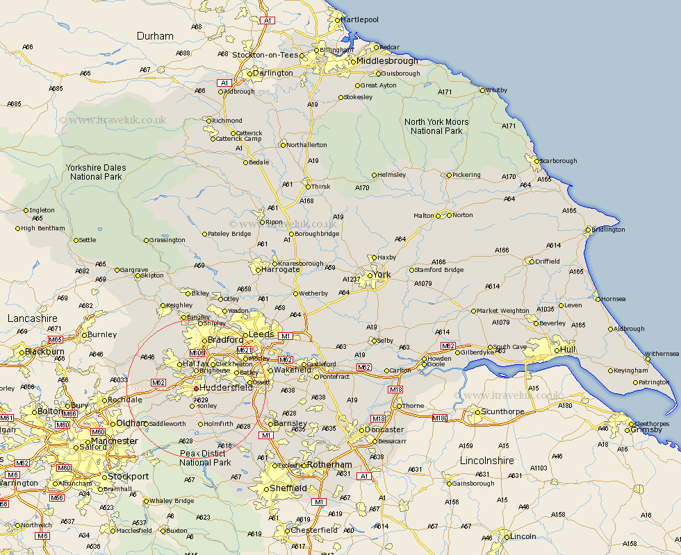
Yorkshire Map Showing Location of Huddersfield
Population: 143999
Area Size (ha): 4122
District: Kirklees
Easting: 414320 Northing: 417102
Latitude: 53.65 Longitude: -1.78
 = Huddersfield
Area Size (ha): 4122
District: Kirklees
Easting: 414320 Northing: 417102
Latitude: 53.65 Longitude: -1.78
= Huddersfield
This Huddersfield map below is supplied by Google. Use the tools in the top left corner to zoom into street level or zoom out for a road map, you may also need to zoom in to see Huddersfield on the map. Click and drag the map to move around. If the map fails to load try and refresh your browser or zoom in or out (+ or -).
Update - it seems Google no longer allow people to use their maps for free! This Huddersfield map sometimes loads and sometimes gives a error. I am working on a solution.
Closest 30 Towns or Cities to Huddersfield (Population over 500)
Elland 4.96km Brighouse 5.56km Honley 5.67km Mirfield 6.85km Liversedge 7.81km Kirkburton 7.82km Halifax 8.62km Cleckheaton 8.62km Shepley 8.62km Meltham 8.62km Shelley 8.63km Heckmondwike 9.48km Emley 10.56km Ripponden 11.14km Holmfirth 11.17km Holme 11.6km Batley 11.72km Denby Dale 12.04km Middlestown 12.08km Middletown 12.08km Dewsbury 12.3km Drewsbury 12.3km Luddenden Foot 12.35km Ossett 14.4km West Bretton 14.76km Bretton 14.76km Dunford Bridge 14.98km Bradford 14.98km Mytholmroyd 15.12km Horbury 15.49km