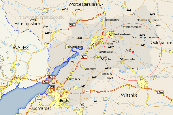
Gloucestershire Map Showing Location of Coln St. Denis
District: Cotswold
Easting: 409196 Northing: 209462
Latitude: 51.78 Longitude: -1.87
 = Coln St. Denis
Easting: 409196 Northing: 209462
Latitude: 51.78 Longitude: -1.87
= Coln St. Denis
This Coln St. Denis map below is supplied by Google. Use the tools in the top left corner to zoom into street level or zoom out for a road map, you may also need to zoom in to see Coln St. Denis on the map. Click and drag the map to move around. If the map fails to load try and refresh your browser or zoom in or out (+ or -).
Update - it seems Google no longer allow people to use their maps for free! This Coln St. Denis map sometimes loads and sometimes gives a error. I am working on a solution.
Closest 30 Towns or Cities to Coln St. Denis (Population over 500)
Chedworth 3.91km Bibury 5.05km Northleach 6.54km North Cerney 7.12km Withington 7.98km Ampney St. Peter 9.33km Ampney Saint Peter 9.33km Ampney 9.33km Ampney St Peter 9.33km Quenington 9.37km Cirencester 9.77km Cicester 9.77km Fairford 10.9km Andoversford 10.9km Bourton-on-the-Water 12.26km Bourton on the Water 12.26km Siddington 12.51km Cerney 13.41km South Cerney 13.41km Kempsford 14.68km Lechlade 14.75km Charlton Kings 16.58km Leckhampton 17.54km Stow-on-the-Wold 19.03km Stow on the Wold 19.03km Winchcomb 19.4km Winchcombe 19.4km Bledington 19.51km Shurdington 19.52km Cheltenham 19.75km