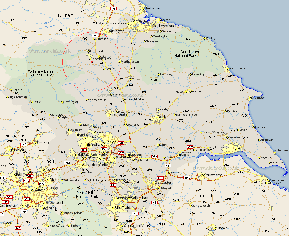
Yorkshire Map Showing Location of Hunton
Population: 420
District: Richmondshire
Easting: 419505 Northing: 493140
Latitude: 54.33 Longitude: -1.7
 = Hunton
District: Richmondshire
Easting: 419505 Northing: 493140
Latitude: 54.33 Longitude: -1.7
= Hunton
This Hunton map below is supplied by Google. Use the tools in the top left corner to zoom into street level or zoom out for a road map, you may also need to zoom in to see Hunton on the map. Click and drag the map to move around. If the map fails to load try and refresh your browser or zoom in or out (+ or -).
Update - it seems Google no longer allow people to use their maps for free! This Hunton map sometimes loads and sometimes gives a error. I am working on a solution.
Closest 30 Towns or Cities to Hunton (Population over 500)
Catterick 5.69km Crakehall 6.55km Richmond 7.72km Leyburn 8.42km Scorton 8.54km Middleham 9.39km Bedale 9.39km Gilling 11.17km North Cowton 12.22km Masham 13.37km Middleton Tyas 13.37km East Cowton 14.23km Cowton 14.23km Barton 15.18km Melsonby 16.71km Grewelthorpe 16.99km Tanfield 17.17km West Tanfield 17.17km Northallerton 17.29km Brompton 18.46km Kirkby Malzeard 18.81km Bradley 21.63km Osmotherley 26.19km Topcliffe 26.48km Ripon 26.87km Thirsk 27.11km Dishforth 27.47km Bewerley 28.13km Whorlton 30.59km Bishop Monkton 30.69km