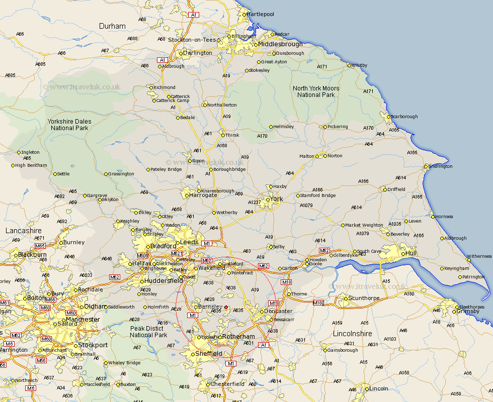
Yorkshire Map Showing Location of Clayton
Population: 208
District: Doncaster
Easting: 445268 Northing: 406173
Latitude: 53.55 Longitude: -1.32
 = Clayton
District: Doncaster
Easting: 445268 Northing: 406173
Latitude: 53.55 Longitude: -1.32
= Clayton
This Clayton map below is supplied by Google. Use the tools in the top left corner to zoom into street level or zoom out for a road map, you may also need to zoom in to see Clayton on the map. Click and drag the map to move around. If the map fails to load try and refresh your browser or zoom in or out (+ or -).
Update - it seems Google no longer allow people to use their maps for free! This Clayton map sometimes loads and sometimes gives a error. I am working on a solution.
Closest 30 Towns or Cities to Clayton (Population over 500)
Dearne 2.16km Great Houghton 2.2km Houghton 2.2km Little Houghton 3.3km Brodsworth 3.3km Moorthorpe 3.86km South Kirkby 4.2km South Elmsall 4.31km Darsfield 4.78km Darfield 4.78km Hemsworth 5.98km Wath on Dearne 5.98km Wath upon Dearne 5.98km Wath-on-Dearne 5.98km Wath 5.98km Wombwell 6.64km Cudworth 6.86km Swinton 7.42km Badsworth 7.5km Shafton 7.57km Upton 7.74km Mexborough 8.12km North Elmsall 8.63km Adwick le Street 9km Carcroft 9km Sprotboro 9.51km Sprotbrough 9.51km Fitzwilliam 10.26km Royston 10.41km Hoyland 10.42km