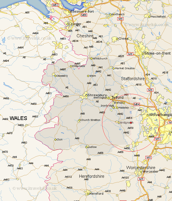
Shropshire Map Showing Location of Claverley
Population: 1477
District: Bridgnorth
Easting: 379652 Northing: 292908
Latitude: 52.53 Longitude: -2.3
 = Claverley
District: Bridgnorth
Easting: 379652 Northing: 292908
Latitude: 52.53 Longitude: -2.3
= Claverley
This Claverley map below is supplied by Google. Use the tools in the top left corner to zoom into street level or zoom out for a road map, you may also need to zoom in to see Claverley on the map. Click and drag the map to move around. If the map fails to load try and refresh your browser or zoom in or out (+ or -).
Update - it seems Google no longer allow people to use their maps for free! This Claverley map sometimes loads and sometimes gives a error. I am working on a solution.
Closest 30 Towns or Cities to Claverley (Population over 500)
Worfield 4.88km Bridgnorth 7.89km Alveley 9.86km Highley 10.85km Albrighton 11.35km Barrow Bridge 13.49km Barrow 13.49km Madeley 14.31km Kinlet 15.18km Broseley 15.48km Shifnal 15.5km Ironbridge 15.83km Ditton Priors 18.42km Much Wenlock 18.45km Dawley 18.62km Oakengates 20.61km Telford 20.66km Cleobury Mortimer 20.8km Hadley 22.29km Ketley 22.29km Donnington 22.29km Downington 22.29km Woodcote 22.35km Lilleshall 23.24km Trench 23.29km Wellington 23.61km Cressage 24.11km Wrockwardine 25.84km Edgmond 27.12km Bitterley 27.96km