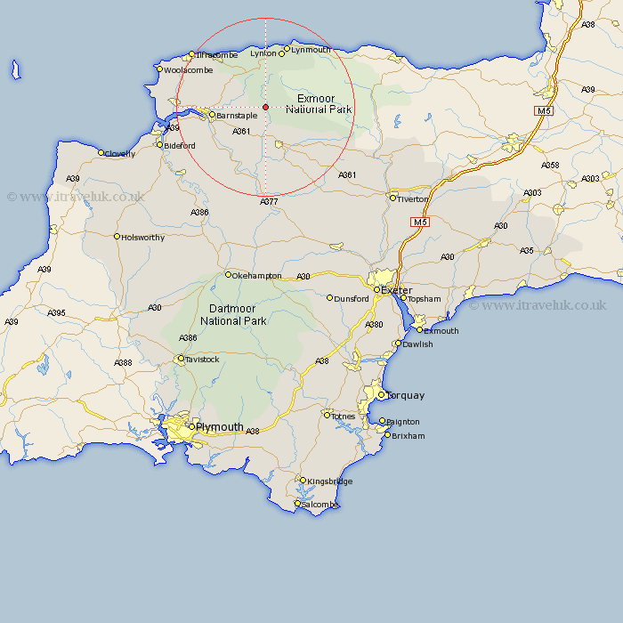
Devon Map Showing Location of Charles
District: North Devon
Easting: 268149 Northing: 135156
Latitude: 51.1 Longitude: -3.88
 = Charles
Easting: 268149 Northing: 135156
Latitude: 51.1 Longitude: -3.88
= Charles
This Charles map below is supplied by Google. Use the tools in the top left corner to zoom into street level or zoom out for a road map, you may also need to zoom in to see Charles on the map. Click and drag the map to move around. If the map fails to load try and refresh your browser or zoom in or out (+ or -).
Update - it seems Google no longer allow people to use their maps for free! This Charles map sometimes loads and sometimes gives a error. I am working on a solution.
Closest 30 Towns or Cities to Charles (Population over 500)
Bratton Fleming 5.01km North Molton 8.05km Swimbridge 8.05km South Molton 9.9km Chittlehampton 10.37km Barnstaple 11.79km Tawstock 12.9km Linton 13.44km Lynton 13.44km Marwood 14.09km Combe Martin 15.27km Fremington 16.71km High Bickington 16.92km Berrynarbor 16.95km West Down 17.89km Barrington 19.11km Burrington 19.11km Chulmleigh 20.42km Instow 20.56km Ilfracombe 20.81km Iltracombe 20.81km Braunton 20.95km Georgeham 22.41km Chawleigh 22.51km Appledore 22.81km Witheridge 23.48km Morthoe 23.96km Mortehoe 23.96km Northam 24.44km Great Torrington 25.02km