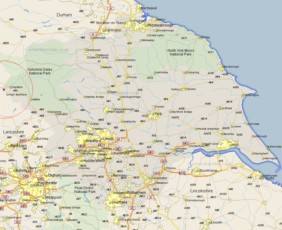
Yorkshire Map Showing Location of Burton In Lonsdale
Population: 579
District: Craven
Easting: 365155 Northing: 470979
Latitude: 54.13 Longitude: -2.53
 = Burton In Lonsdale
District: Craven
Easting: 365155 Northing: 470979
Latitude: 54.13 Longitude: -2.53
= Burton In Lonsdale
This Burton In Lonsdale map below is supplied by Google. Use the tools in the top left corner to zoom into street level or zoom out for a road map, you may also need to zoom in to see Burton In Lonsdale on the map. Click and drag the map to move around. If the map fails to load try and refresh your browser or zoom in or out (+ or -).
Update - it seems Google no longer allow people to use their maps for free! This Burton In Lonsdale map sometimes loads and sometimes gives a error. I am working on a solution.
Closest 30 Towns or Cities to Burton In Lonsdale (Population over 500)
High Bentham 4.29km Bentham 4.29km Ingleton 4.72km Clapham 10.45km Settle 18.9km Giggleswick 19.7km Long Preston 23.7km Hellifield 26.56km Hawes 28.52km Gargrave 32.84km Threshfield 34.94km Earby 36.34km Grassington 36.62km Bradley 38.03km Skipton 38.48km Carlton 38.61km Carleton 38.61km Embsay 40.4km Cononley 41.46km Glusburn 43.44km Sutton-in-Craven 45.44km Silsden 47.01km Steeton 47.18km Addingham 47.92km Keighley 48.95km Middleham 49.5km Leyburn 50.15km Bewerley 50.29km Cornholme 51.07km Haworth 51.91km