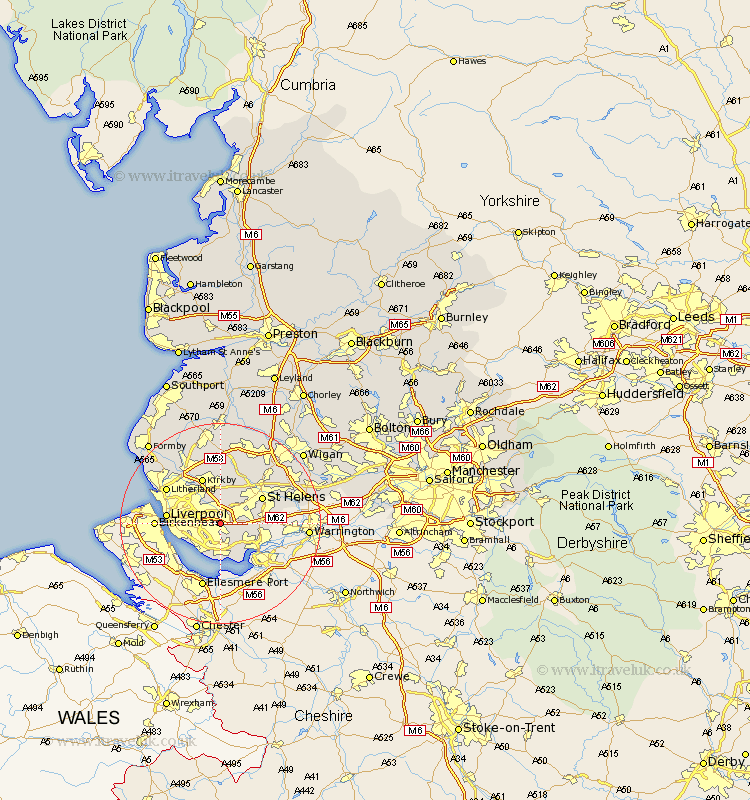
Lancashire Map Showing Location of Huyton
Population: 55387
Area Size (ha): 1052
District: Knowsley
Easting: 343490 Northing: 389607
Latitude: 53.4 Longitude: -2.85
 = Huyton
Area Size (ha): 1052
District: Knowsley
Easting: 343490 Northing: 389607
Latitude: 53.4 Longitude: -2.85
= Huyton
This Huyton map below is supplied by Google. Use the tools in the top left corner to zoom into street level or zoom out for a road map, you may also need to zoom in to see Huyton on the map. Click and drag the map to move around. If the map fails to load try and refresh your browser or zoom in or out (+ or -).
Update - it seems Google no longer allow people to use their maps for free! This Huyton map sometimes loads and sometimes gives a error. I am working on a solution.
Closest 30 Towns or Cities to Huyton (Population over 500)
Prescott 3.8km Prescot 3.8km Halewood 4.31km Rainhill 5.52km Rainhull 5.52km Knowsley 5.56km Cronton 5.83km Eccleston 7.1km Aintree 9.24km St. Helens 9.52km Saint Helens 9.52km St Helens 9.52km Kirkby 9.84km Liverpool 10.11km Melling 10.26km Litherland 12.4km Bickerstaffe 13.02km Bootle 13.3km Rainford 13.39km Sefton 13.54km Haydock 14.23km Maghull 14.57km Crosby 14.91km Thornton 14.91km Billinge 14.91km Lydiate 15.1km Skelmersdale 15.19km Aughton 15.46km Ashton 16.17km Ashton in Makerfield 16.17km