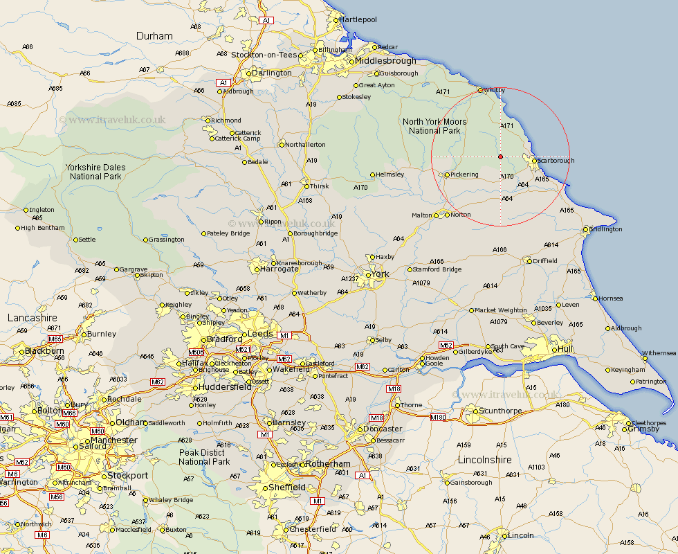
Yorkshire Map Showing Location of Broxa
District: Scarborough
Easting: 494349 Northing: 490363
Latitude: 54.3 Longitude: -0.55
 = Broxa
Easting: 494349 Northing: 490363
Latitude: 54.3 Longitude: -0.55
= Broxa
This Broxa map below is supplied by Google. Use the tools in the top left corner to zoom into street level or zoom out for a road map, you may also need to zoom in to see Broxa on the map. Click and drag the map to move around. If the map fails to load try and refresh your browser or zoom in or out (+ or -).
Update - it seems Google no longer allow people to use their maps for free! This Broxa map sometimes loads and sometimes gives a error. I am working on a solution.
Closest 30 Towns or Cities to Broxa (Population over 500)
Burniston 7.79km Scalby 7.8km Cloughton 8.43km Scarborough 8.93km Brompton 9.26km Snainton 9.51km Seamer 10.6km Yedingham 11.93km Eastfield 12.24km Fylingdales 13.02km Thornton-le-Dale 13.12km Thornton Dale 13.12km Cayton 14.03km Willerby 14.51km Sherburn 14.98km Pickering 15.13km Hawsker 16.71km Sleights 18.31km Rillington 19.32km Filey 19.68km Hunmanby 21.21km Whitby 21.4km Norton 22.98km Great Driffield 23.5km Malton 25.09km Kirby Moorside 25.16km Kirkby Moorside 25.16km Slingsby 29.09km Nawton 29.1km Hinderwell 29.49km