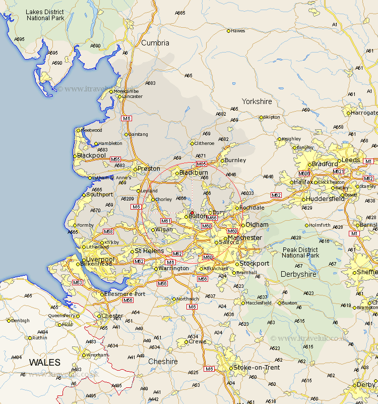
Lancashire Map Showing Location of Bromley Cross
Population: 21447
Area Size (ha): 566
District: Bolton
Easting: 373532 Northing: 411593
Latitude: 53.6 Longitude: -2.4
 = Bromley Cross
Area Size (ha): 566
District: Bolton
Easting: 373532 Northing: 411593
Latitude: 53.6 Longitude: -2.4
= Bromley Cross
This Bromley Cross map below is supplied by Google. Use the tools in the top left corner to zoom into street level or zoom out for a road map, you may also need to zoom in to see Bromley Cross on the map. Click and drag the map to move around. If the map fails to load try and refresh your browser or zoom in or out (+ or -).
Update - it seems Google no longer allow people to use their maps for free! This Bromley Cross map sometimes loads and sometimes gives a error. I am working on a solution.
Closest 30 Towns or Cities to Bromley Cross (Population over 500)
Bolton 2.88km Turton 3.7km Tottington 4.4km Farnworth 5.56km Little Lever 5.98km Bury 6.6km Ramsbottom 6.63km Radcliffe 7.09km Kearsley 7.5km Whitefield 8.63km Walkden 9.26km Westhoughton 9.5km Horwich 9.9km Edenfield 9.92km Pendlebury 10.26km Tyldesley 10.26km Prestwich 10.69km Atherton 11.38km Swinton 11.6km Haslingden 11.96km Darwen 11.96km Haigh 12.1km Heywood 12.24km Blackrod 12.24km Adlington 13.2km Rawtenstall 13.52km Eccles 13.7km Hindley 14.2km Middleton 14.33km Brinscall 14.37km