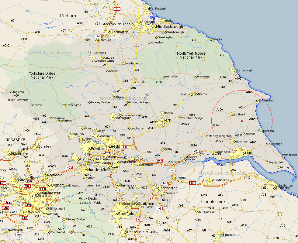
Yorkshire Map Showing Location of Brigham
Easting: 508228 Northing: 453573
Latitude: 53.97 Longitude: -0.35
 = Brigham
Latitude: 53.97 Longitude: -0.35
= Brigham
This Brigham map below is supplied by Google. Use the tools in the top left corner to zoom into street level or zoom out for a road map, you may also need to zoom in to see Brigham on the map. Click and drag the map to move around. If the map fails to load try and refresh your browser or zoom in or out (+ or -).
Update - it seems Google no longer allow people to use their maps for free! This Brigham map sometimes loads and sometimes gives a error. I am working on a solution.
Closest 30 Towns or Cities to Brigham (Population over 500)
Beeford 5.45km Cranswick 5.76km Nafferton 5.97km Brandsburton 6.45km Brandesburton 6.45km Dunnington 6.8km Driffield 7.03km Skipsea 8.72km North Frodingham 8.72km Kilham 9.33km Leven 9.53km Tickton 11.33km Lockington 11.45km Leconfield 12.91km Leckonfield 12.91km Hornsea 14.11km Wetwang 14.64km Cherry Burton 14.84km Beverley 15.46km Great Driffield 15.79km Woodmansey 16.83km Bridlington 17.01km Bishop Burton 17.79km Skirlaugh Station 17.92km Wawne 18.54km Sutton-on-Hull 20.51km Sutton on Hull 20.51km Sutton 20.51km Cottingham 20.51km Flamborough 21.26km