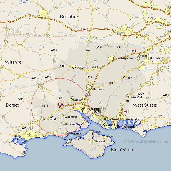
Hampshire Map Showing Location of Bramshaw
Population: 684
District: New Forest
Easting: 426934 Northing: 115003
Latitude: 50.93 Longitude: -1.62
 = Bramshaw
District: New Forest
Easting: 426934 Northing: 115003
Latitude: 50.93 Longitude: -1.62
= Bramshaw
This Bramshaw map below is supplied by Google. Use the tools in the top left corner to zoom into street level or zoom out for a road map, you may also need to zoom in to see Bramshaw on the map. Click and drag the map to move around. If the map fails to load try and refresh your browser or zoom in or out (+ or -).
Update - it seems Google no longer allow people to use their maps for free! This Bramshaw map sometimes loads and sometimes gives a error. I am working on a solution.
Closest 30 Towns or Cities to Bramshaw (Population over 500)
Cadnam 2.98km West Wellow 4.39km Minstead 5.68km Sherfield English 6.03km Lyndhurst 7.77km Hale 8.38km Totton 9.53km Romsey 9.88km Eling 10.05km Fordingbridge 12.85km Ibsley 12.94km Brockenhurst 13.43km Michelmersh 13.8km Michlemersh 13.8km Marchwood 14km Chilworth 14.13km Burley 14.22km Dibden 14.84km Ringwood 14.91km Sandleheath 15.09km Southampton 15.26km South Damerham 16.35km Damerham 16.35km Sway 16.72km Itchen 16.77km Hythe 16.9km Broughton 17.32km Bewley 17.46km Beaulieu 17.46km Kings Somborne 17.52km