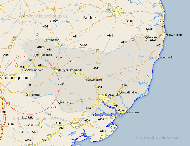
Suffolk Map Showing Location of Bradley
Population: 338
District: St. Edmundsbury
Easting: 567602 Northing: 253066
Latitude: 52.15 Longitude: 0.45
 = Bradley
District: St. Edmundsbury
Easting: 567602 Northing: 253066
Latitude: 52.15 Longitude: 0.45
= Bradley
This Bradley map below is supplied by Google. Use the tools in the top left corner to zoom into street level or zoom out for a road map, you may also need to zoom in to see Bradley on the map. Click and drag the map to move around. If the map fails to load try and refresh your browser or zoom in or out (+ or -).
Update - it seems Google no longer allow people to use their maps for free! This Bradley map sometimes loads and sometimes gives a error. I am working on a solution.
Closest 30 Towns or Cities to Bradley (Population over 500)
Thurlow 4.35km Haverhill 7.5km Kedington 7.76km Wickhambrook 7.96km Hundon 8.8km Moulton 11.35km Newmarket 11.35km Clare 11.74km Chedburgh 11.96km Gazeley 12.01km Chevington 12.65km Barrow 12.98km Cavendish 14.55km Exning 14.66km Glemsford 15.8km Risby 18.01km Lawshall 19.33km Long Melford 20.43km Bury St. Edmunds 21.31km Bury Saint Edmunds 21.31km Bury St Edmunds 21.31km Fornham All Saints 21.41km Mildenhall 22.7km Cockfield 22.74km Rushbrooke 22.83km Sudbury 23.3km Bradfield 24.51km Bradfield St. George 24.51km Bradfield St George 24.51km Bradfield Saint George 24.51km