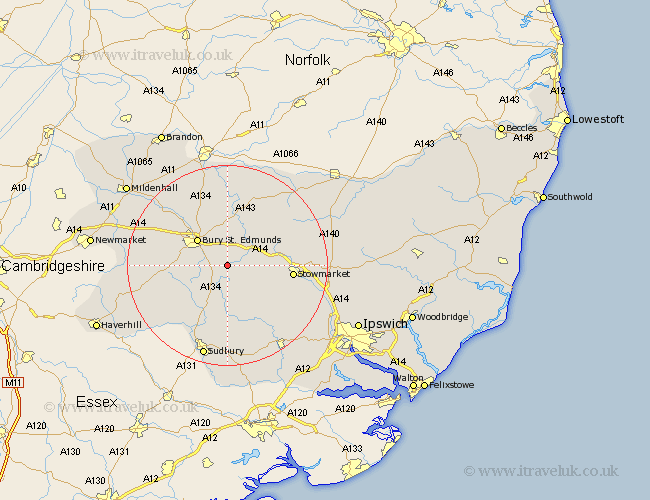
Suffolk Map Showing Location of Bradfield St. George
Population: 503
District: St. Edmundsbury
Easting: 591326 Northing: 259492
Latitude: 52.2 Longitude: 0.8
 = Bradfield St. George
District: St. Edmundsbury
Easting: 591326 Northing: 259492
Latitude: 52.2 Longitude: 0.8
= Bradfield St. George
This Bradfield St. George map below is supplied by Google. Use the tools in the top left corner to zoom into street level or zoom out for a road map, you may also need to zoom in to see Bradfield St. George on the map. Click and drag the map to move around. If the map fails to load try and refresh your browser or zoom in or out (+ or -).
Update - it seems Google no longer allow people to use their maps for free! This Bradfield St. George map sometimes loads and sometimes gives a error. I am working on a solution.
Closest 30 Towns or Cities to Bradfield St. George (Population over 500)
Rushbrooke 2.93km Thurston 5.67km Cockfield 5.68km Rattlesden 5.98km Woolpit 7.06km Norton 7.18km Lawshall 7.18km Pakenham 7.76km Great Barton 7.76km Bury St. Edmunds 7.95km Bury Saint Edmunds 7.95km Bury St Edmunds 7.95km Elmswell 8.77km Great Finborough 9.82km Finborough 9.82km Fornham All Saints 10.07km Lavenham 11.12km Ixworth 11.35km Hitcham 11.5km Badwell Ash 12.2km Chevington 12.49km Haughley 12.63km Chedburgh 12.63km Stowmarket 12.63km Troston 13.03km Bardwell 13.41km Risby 13.56km Bildeston 13.67km Glemsford 14.37km Ringshall 14.54km