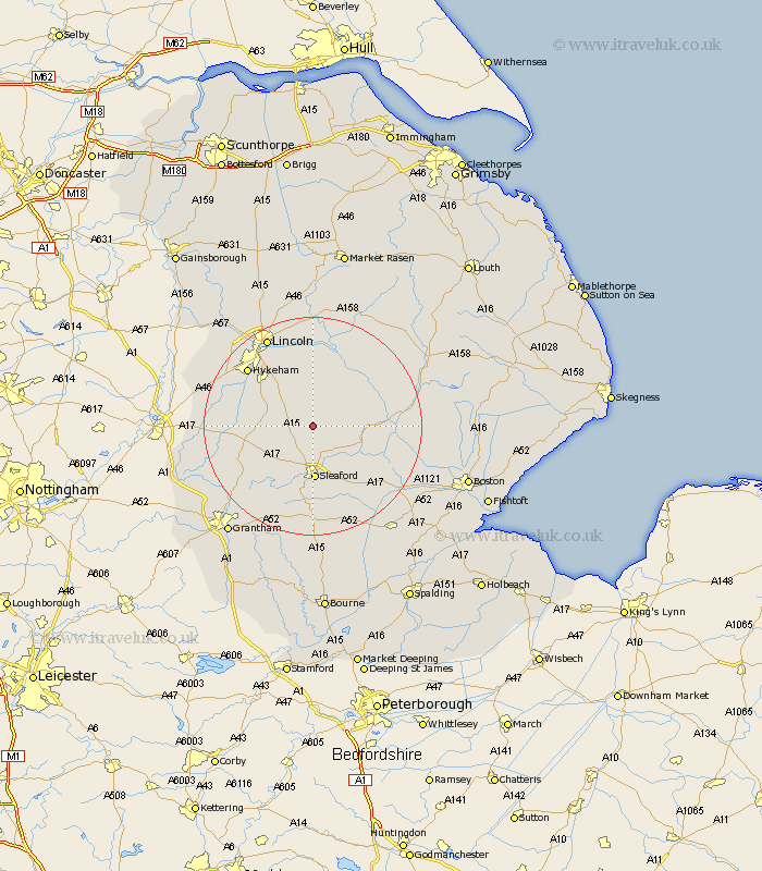
Lincolnshire Map Showing Location of Bloxholm
Population: 796
District: North Kesteven
Easting: 506039 Northing: 355213
Latitude: 53.08 Longitude: -0.42
 = Bloxholm
District: North Kesteven
Easting: 506039 Northing: 355213
Latitude: 53.08 Longitude: -0.42
= Bloxholm
This Bloxholm map below is supplied by Google. Use the tools in the top left corner to zoom into street level or zoom out for a road map, you may also need to zoom in to see Bloxholm on the map. Click and drag the map to move around. If the map fails to load try and refresh your browser or zoom in or out (+ or -).
Update - it seems Google no longer allow people to use their maps for free! This Bloxholm map sometimes loads and sometimes gives a error. I am working on a solution.
Closest 30 Towns or Cities to Bloxholm (Population over 500)
Scopwick 2.17km Digby 3.34km Brauncewell 3.87km Metheringham 5.67km Buskington 5.99km Ruskington 5.99km Cranwell 6.49km Martin 6.69km Navenby 6.93km Leasingham 7.41km Heasingham 7.41km Dunston 7.5km Wellingore 8.01km Billinghay 8.91km Welbourn 9.1km Nocton 9.27km Sleaford 10.02km Potter Hanworth 11.12km Branston 11.61km Waddington 12.11km Fulbeck 12.45km Heighington 13.4km Caythorpe 14.32km Tattershall 14.59km Bassingham 14.93km Ancaster 15.13km Washingborough 15.2km Woodhall Spa 15.27km Aubourn 15.27km North Hykeham 15.73km