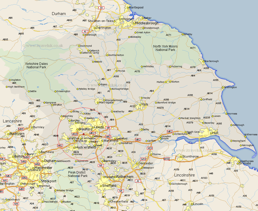
Yorkshire Map Showing Location of Birkenshaw
District: Kirklees
Easting: 420879 Northing: 428252
Latitude: 53.75 Longitude: -1.68
 = Birkenshaw
Easting: 420879 Northing: 428252
Latitude: 53.75 Longitude: -1.68
= Birkenshaw
This Birkenshaw map below is supplied by Google. Use the tools in the top left corner to zoom into street level or zoom out for a road map, you may also need to zoom in to see Birkenshaw on the map. Click and drag the map to move around. If the map fails to load try and refresh your browser or zoom in or out (+ or -).
Update - it seems Google no longer allow people to use their maps for free! This Birkenshaw map sometimes loads and sometimes gives a error. I am working on a solution.
Closest 30 Towns or Cities to Birkenshaw (Population over 500)
Pudsey 3.86km Cleckheaton 4.3km Liversedge 5.67km Heckmondwike 5.67km Bradford 5.74km Morley 6.83km Drewsbury 7.08km Dewsbury 7.08km Batley 7.48km Leeds 8.61km Brighouse 8.61km Mirfield 9.26km Horsforth 9.83km Shipley 10.76km Halifax 11.57km Ossett 12.03km Lofthouse 12.2km Elland 12.35km Baildon 12.39km Middlestown 12.4km Middletown 12.4km Horbury 12.76km Huddersfield 12.92km Yeadon 13.02km Rothwell 13.15km Guiseley 13.16km Wilsden 14.15km Wakefield 14.29km Stanley 14.29km Denholme 14.71km