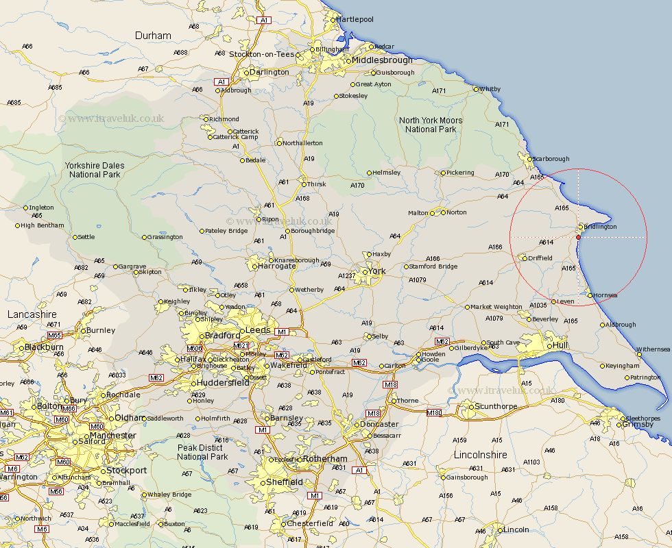
Yorkshire Map Showing Location of Bessingby
Easting: 516692 Northing: 464908
Latitude: 54.07 Longitude: -0.22
 = Bessingby
Latitude: 54.07 Longitude: -0.22
= Bessingby
This Bessingby map below is supplied by Google. Use the tools in the top left corner to zoom into street level or zoom out for a road map, you may also need to zoom in to see Bessingby on the map. Click and drag the map to move around. If the map fails to load try and refresh your browser or zoom in or out (+ or -).
Update - it seems Google no longer allow people to use their maps for free! This Bessingby map sometimes loads and sometimes gives a error. I am working on a solution.
Closest 30 Towns or Cities to Bessingby (Population over 500)
Bridlington 3.2km Flamborough 7.5km Bempton 8.09km Kilham 9.96km Skipsea 11.12km Beeford 11.59km Nafferton 12.22km Hunmanby 12.89km Dunnington 13.16km Great Driffield 14.61km Driffield 15.64km Filey 16.62km Brandesburton 17.55km Brandsburton 17.55km Hornsea 18.82km Cranswick 19.21km Willerby 19.98km North Frodingham 20.67km Cayton 20.94km Leven 21.42km Eastfield 22.04km Sherburn 22.49km Seamer 23.29km Wetwang 24.03km Tickton 24.77km Lockington 25.45km Leckonfield 26.97km Leconfield 26.97km Brompton 27.38km Scarborough 27.68km