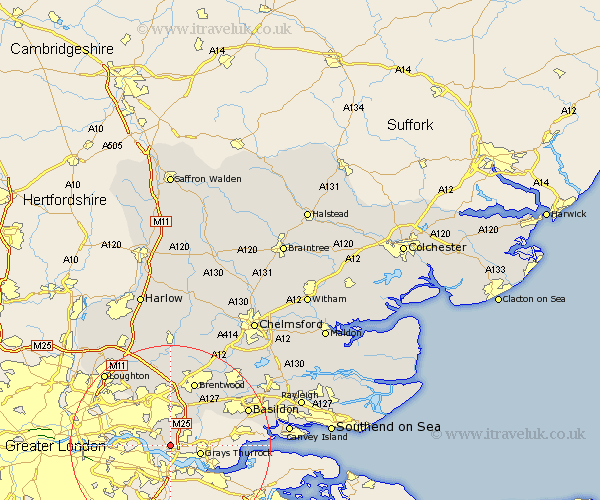
Essex Map Showing Location of Belhus
Easting: 556154 Northing: 180349
Latitude: 51.5 Longitude: 0.25
 = Belhus
Latitude: 51.5 Longitude: 0.25
= Belhus
This Belhus map below is supplied by Google. Use the tools in the top left corner to zoom into street level or zoom out for a road map, you may also need to zoom in to see Belhus on the map. Click and drag the map to move around. If the map fails to load try and refresh your browser or zoom in or out (+ or -).
Update - it seems Google no longer allow people to use their maps for free! This Belhus map sometimes loads and sometimes gives a error. I am working on a solution.
Closest 30 Towns or Cities to Belhus (Population over 500)
Aveley 1.86km South Ockendon 3.46km South Ockedon 3.46km Grays Thurrock 6.06km Grays 6.06km Tilbury Fort 9.81km Tilbury 9.81km Ingrave 10.91km Herongate 11.27km Stanford le Hope 11.54km Brentwood 13.77km Corringham 14.06km Great Burstead 14.79km Navestock 14.87km Mountnessing 16.35km Basildon 16.72km Chigwell 17.35km Billericay 17.35km Kelvedon Hatch 18.68km Stanford Rivers 18.68km Ramsden Heath 18.96km Loughton 19.5km Ingatestone 20.7km Stock 20.95km Buckhurst Hill 21.07km Benfleet 21.09km South Benfleet 21.09km Theydon Bois 21.24km Wickford 21.53km Chipping Ongar 22.24km