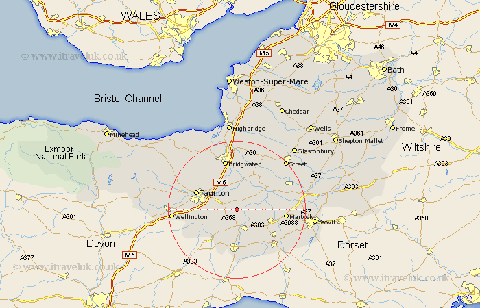
Somerset Map Showing Location of Isle Abbotts
Population: 224
District: South Somerset
Easting: 333322 Northing: 120926
Latitude: 50.98 Longitude: -2.95
 = Isle Abbotts
District: South Somerset
Easting: 333322 Northing: 120926
Latitude: 50.98 Longitude: -2.95
= Isle Abbotts
This Isle Abbotts map below is supplied by Google. Use the tools in the top left corner to zoom into street level or zoom out for a road map, you may also need to zoom in to see Isle Abbotts on the map. Click and drag the map to move around. If the map fails to load try and refresh your browser or zoom in or out (+ or -).
Update - it seems Google no longer allow people to use their maps for free! This Isle Abbotts map sometimes loads and sometimes gives a error. I am working on a solution.
Closest 30 Towns or Cities to Isle Abbotts (Population over 500)
Fivehead 2.98km Hatch Beauchamp 3.5km North Curry 3.89km Ilton 4.38km Stoke St Gregory 5.68km Stoke St. Gregory 5.68km Stoke Saint Gregory 5.68km Broadway 5.68km Curry Rivel 5.96km Creech Saint Michael 5.96km Creech St. Michael 5.96km Creech St Michael 5.96km Ilminster 6.03km Langport 9.87km Combe Saint Nicholas 9.91km Combe St. Nicholas 9.91km Combe St Nicholas 9.91km West Monkton 10.19km Kingsbury 10.5km Kingsbury Episcopi 10.5km South Petherton 11.14km Trull 11.81km Pitminster 11.82km Othery 12.05km Taunton 12.92km Chard 13.02km High Ham 13.15km Long Sutton 13.35km Middlezoy 13.44km North Petherton 13.79km