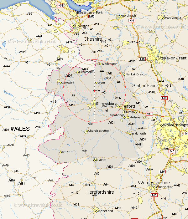
Shropshire Map Showing Location of Yorton
District: North Shropshire
Easting: 350563 Northing: 322782
Latitude: 52.8 Longitude: -2.73
 = Yorton
Easting: 350563 Northing: 322782
Latitude: 52.8 Longitude: -2.73
= Yorton
This Yorton map below is supplied by Google. Use the tools in the top left corner to zoom into street level or zoom out for a road map, you may also need to zoom in to see Yorton on the map. Click and drag the map to move around. If the map fails to load try and refresh your browser or zoom in or out (+ or -).
Update - it seems Google no longer allow people to use their maps for free! This Yorton map sometimes loads and sometimes gives a error. I am working on a solution.
Closest 30 Towns or Cities to Yorton (Population over 500)
Hadnall 3.87km Wem 5.67km Stanton 5.9km Stanton upon Hine Heath 5.9km Shawbury 5.9km Loppington 8.14km Baschurch 9.16km Shrewsbury 9.26km Bicton 9.3km Cockshutt 9.61km Cockshut 9.61km Prees 10.29km Precs 10.29km Ercall Magna 10.55km High Ercall 10.55km Rodington 10.8km Whixall 11.18km Hodnet 11.51km Great Ness 11.8km Ford 12.14km Welshampton 13.6km Great Hanwood 14.14km Hanwood 14.14km Stoke 14.54km Stoke upon Tern 14.54km Baystonhill 14.86km Wrockwardine 15.79km Cherrington 16.12km Ellesmere 16.43km Condover 16.72km