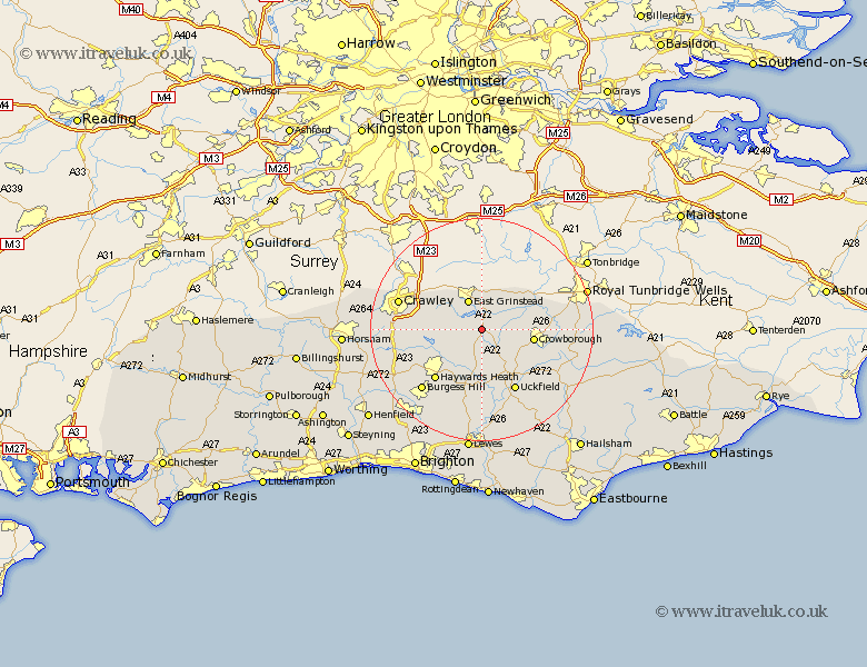
Sussex Map Showing Location of Wytch Cross
District: Wealden
Easting: 541286 Northing: 131701
Latitude: 51.07 Longitude: 0.02
 = Wytch Cross
Easting: 541286 Northing: 131701
Latitude: 51.07 Longitude: 0.02
= Wytch Cross
This Wytch Cross map below is supplied by Google. Use the tools in the top left corner to zoom into street level or zoom out for a road map, you may also need to zoom in to see Wytch Cross on the map. Click and drag the map to move around. If the map fails to load try and refresh your browser or zoom in or out (+ or -).
Update - it seems Google no longer allow people to use their maps for free! This Wytch Cross map sometimes loads and sometimes gives a error. I am working on a solution.
Closest 30 Towns or Cities to Wytch Cross (Population over 500)
Forest Row 3.95km East Grinstead 6.03km Horsted Keynes 6.03km Turners Hill 7.23km Hartfield 7.23km Ardingly 7.92km Withyham 8.36km Fletching 9.35km Lindfield 9.43km Crowborough 9.5km Balcombe 9.5km Maresfield 10.38km Worth 11.11km Newick 11.12km South Nutfield 11.87km Cuckfield 11.87km Buxted 12.35km Haywards Heath 12.35km Baywards Heath 12.35km Uckfield 12.55km Chailey 12.98km Rotherfield 14.47km Wivelsfield 14.74km Hadlow Down 14.9km Isfield 15.24km Burgess Hill 15.29km Framfield 15.33km Slaugham 15.59km Crawley 15.68km Frant 17.56km