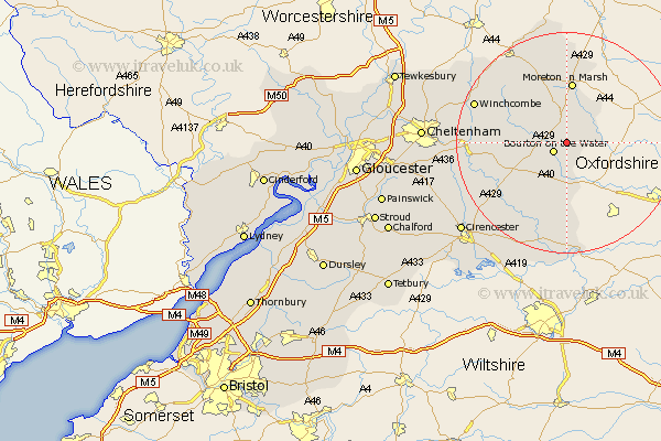
Gloucestershire Map Showing Location of Wyck Rissington
District: Cotswold
Easting: 419499 Northing: 220613
Latitude: 51.88 Longitude: -1.72
 = Wyck Rissington
Easting: 419499 Northing: 220613
Latitude: 51.88 Longitude: -1.72
= Wyck Rissington
This Wyck Rissington map below is supplied by Google. Use the tools in the top left corner to zoom into street level or zoom out for a road map, you may also need to zoom in to see Wyck Rissington on the map. Click and drag the map to move around. If the map fails to load try and refresh your browser or zoom in or out (+ or -).
Update - it seems Google no longer allow people to use their maps for free! This Wyck Rissington map sometimes loads and sometimes gives a error. I am working on a solution.
Closest 30 Towns or Cities to Wyck Rissington (Population over 500)
Bourton-on-the-Water 2.94km Bourton on the Water 2.94km Stow on the Wold 5.68km Stow-on-the-Wold 5.68km Bledington 5.72km Northleach 8.84km Moreton in Marsh 11.18km Moreton in the Marsh 11.18km Moreton-in-Marsh 11.18km Blockley 15.01km Andoversford 16.12km Bibury 16.34km Chedworth 16.57km Withington 16.96km Chipping Campden 17.29km Winchcombe 17.64km Winchcomb 17.64km Ebrington 18.57km Quenington 19.08km Lechlade 20.41km Fairford 20.89km North Cerney 21.52km Alderton 22.38km Mickleton 22.5km Dumbleton 22.66km Ampney 23.38km Ampney St Peter 23.38km Ampney St. Peter 23.38km Ampney Saint Peter 23.38km Southam 23.53km