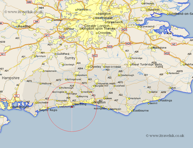
Sussex Map Showing Location of West Worthing
District: Worthing
Easting: 513913 Northing: 101357
Latitude: 50.8 Longitude: -0.38
 = West Worthing
Easting: 513913 Northing: 101357
Latitude: 50.8 Longitude: -0.38
= West Worthing
This West Worthing map below is supplied by Google. Use the tools in the top left corner to zoom into street level or zoom out for a road map, you may also need to zoom in to see West Worthing on the map. Click and drag the map to move around. If the map fails to load try and refresh your browser or zoom in or out (+ or -).
Update - it seems Google no longer allow people to use their maps for free! This West Worthing map sometimes loads and sometimes gives a error. I am working on a solution.
Closest 30 Towns or Cities to West Worthing (Population over 500)
Worthing 2.51km Sompting 2.99km Lancing 3.97km North Lancing 3.97km West Ferring 4.69km Ferring 4.69km Kingston 5.04km Findon 5.68km Preston 6.14km East Preston 6.14km Angmering 7.27km Rustington 8.2km Upper Beeding 10.38km Bramber 10.38km Upper Bleeding 10.38km Steyning 10.38km Littlehampton 10.54km Shoreham-by-Sea 11.17km New Shoreham 11.17km Shoreham 11.17km Shoreham by Sea 11.17km Washington 11.18km Portslade 12.28km Southwick 12.28km Arundel 12.96km Ashington 12.98km Storrington 13.93km Ford 14.17km Hove 14.53km Thakeham 15.01km