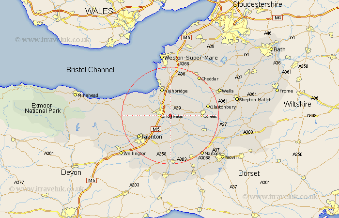
Somerset Map Showing Location of Weston Zoyland
Population: 1747
Area Size (ha): 61
District: Sedgemoor
Easting: 334679 Northing: 135740
Latitude: 51.12 Longitude: -2.93
 = Weston Zoyland
Area Size (ha): 61
District: Sedgemoor
Easting: 334679 Northing: 135740
Latitude: 51.12 Longitude: -2.93
= Weston Zoyland
This Weston Zoyland map below is supplied by Google. Use the tools in the top left corner to zoom into street level or zoom out for a road map, you may also need to zoom in to see Weston Zoyland on the map. Click and drag the map to move around. If the map fails to load try and refresh your browser or zoom in or out (+ or -).
Update - it seems Google no longer allow people to use their maps for free! This Weston Zoyland map sometimes loads and sometimes gives a error. I am working on a solution.
Closest 30 Towns or Cities to Weston Zoyland (Population over 500)
Middlezoy 2.98km Cossington 3.88km Bridgewater 4.65km Bridgwater 4.65km Othery 5.1km Puriton 6.03km North Petherton 6.11km Shapwick 7.22km Durleigh 8.14km Pawlett 8.74km Stoke St Gregory 9.27km Stoke St. Gregory 9.27km Stoke Saint Gregory 9.27km Ashcott 9.49km High Ham 9.86km Huntspill 9.9km West Monkton 11.02km Mark 11.36km North Curry 11.36km Langport 11.61km Walton 11.63km Highbridge 11.65km Curry Rivel 11.66km Meare 11.85km Creech St Michael 12.55km Creech Saint Michael 12.55km Creech St. Michael 12.55km Street 12.8km Spaxton 12.8km Otterhampton 12.82km