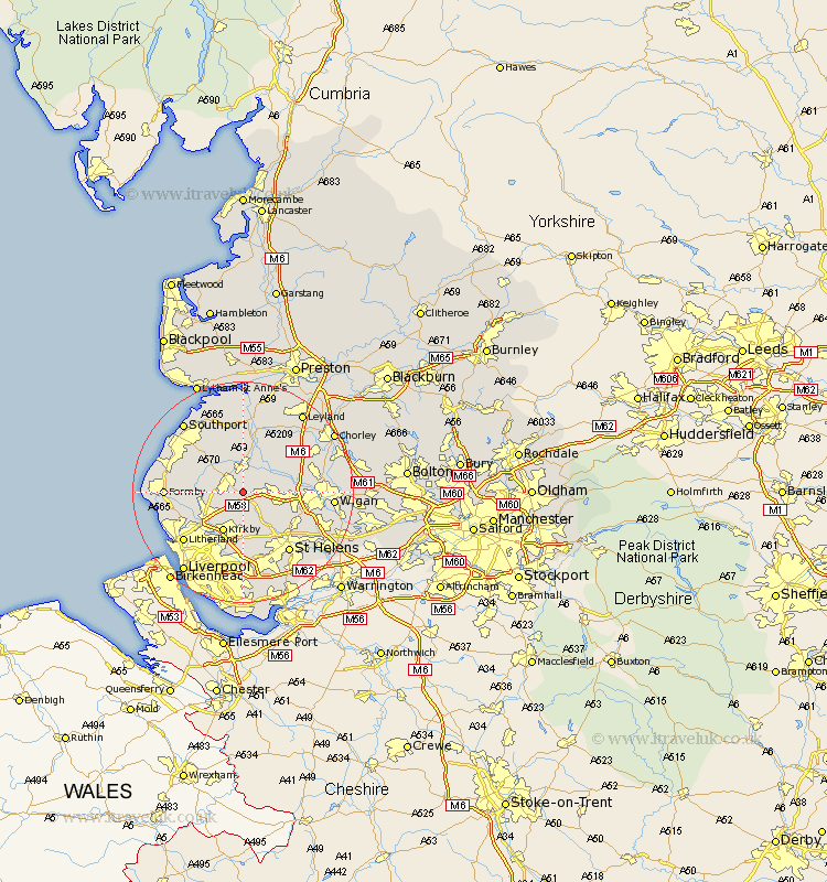
Lancashire Map Showing Location of Westhead
District: West Lancashire
Easting: 343689 Northing: 406292
Latitude: 53.55 Longitude: -2.85
 = Westhead
Easting: 343689 Northing: 406292
Latitude: 53.55 Longitude: -2.85
= Westhead
This Westhead map below is supplied by Google. Use the tools in the top left corner to zoom into street level or zoom out for a road map, you may also need to zoom in to see Westhead on the map. Click and drag the map to move around. If the map fails to load try and refresh your browser or zoom in or out (+ or -).
Update - it seems Google no longer allow people to use their maps for free! This Westhead map sometimes loads and sometimes gives a error. I am working on a solution.
Closest 30 Towns or Cities to Westhead (Population over 500)
Lathom 2.88km Ormskirk 3.79km Skelmersdale 3.79km Bickerstaffe 3.86km Burscough 3.87km Aughton 4.78km Rainford 4.96km Parbold 6.63km Rufford 7.5km Halsall 7.57km Maghull 7.58km Scarisbrick 7.82km Kirkby 8.12km Lydiate 8.55km Melling 8.63km Appley Bridge 9km Mawdesley 9.23km Sefton 9.51km Aintree 10.78km Knowsley 11.12km Shevington 11.16km Thornton 11.37km Billinge 11.37km Ince Blundell 11.62km Eccleston 11.96km Croston 12.41km Standish 12.66km Eccleston 12.78km Tarleton 13.02km Formby 13.21km