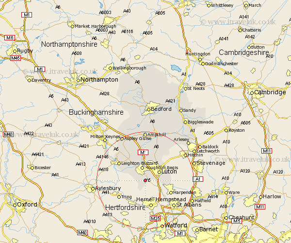
Bedfordshire Map Showing Location of Kensworth
Population: 1504
District: South Bedfordshire
Easting: 503306 Northing: 217935
Latitude: 51.85 Longitude: -0.5
 = Kensworth
District: South Bedfordshire
Easting: 503306 Northing: 217935
Latitude: 51.85 Longitude: -0.5
= Kensworth
This Kensworth map below is supplied by Google. Use the tools in the top left corner to zoom into street level or zoom out for a road map, you may also need to zoom in to see Kensworth on the map. Click and drag the map to move around. If the map fails to load try and refresh your browser or zoom in or out (+ or -).
Update - it seems Google no longer allow people to use their maps for free! This Kensworth map sometimes loads and sometimes gives a error. I am working on a solution.
Closest 30 Towns or Cities to Kensworth (Population over 500)
Caddington 3.44km Studham 3.88km Dunstable 3.88km Totternhoe 3.9km Houghton Regis 5.68km Eaton Bray 6.02km Luton 6.82km Sundon 7.76km Stanbridge 7.98km Hockliffe 9.37km Toddington 9.54km Billington 9.87km Streatley 10.33km Barton 12.5km Barton in the Clay 12.5km Leighton Buzzard 12.69km Westoning 13.03km Heath and Reach 13.85km Pulloxhill 15.21km Flitwick 16.72km Woburn 16.84km Flitton 17.03km Silsoe 17.63km Shillington 18.04km Maulden 18.85km Gravenhurst 19.02km Clophill 19.4km Meppershall 20.22km Ampthill 20.39km Aspley Guise 20.67km